
What is recorded here
Situated on slight SE-facing slope in gently undulating pasture. Circular area (diam. 12m) defined by a low bank of earth (Wth 3.65m; H 0.3m). There is no visible trace of a fosse at ground level. The original entrance is not recognisable. From SE-S-SW and W-WNW, the bank is incorporated into relict field boundaries. The bank is absent from SW-W.
Compiled by: Mark Keegan
Date of upload: 19 January 2011
This remains an important historical record, but the official description says the monument is no longer visible or has been destroyed. The monument record does not grant public access. Check the route and ask the landowner before entering private land.
- What survives
- No visible remains or recorded as destroyed
Places near here
 IndicatedEnclosure · 444 yd
 Split RockNamed rock · 1105 yd
 St. Ernans WellHoly well · 1163 yd
 Glenburn Househouse · 1514 yd
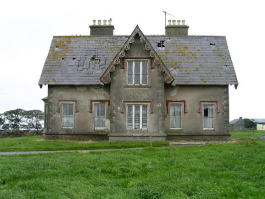 Templeviewhouse · 1.1 mi
 Cooanmore PointHeadland · 1.4 mi
 CastleCastle, motte · 1.6 mi
 Jim Smith MemorialMemorial · 1.6 mi
 Ballynahowna CastleCastle, tower house · 1.9 mi
 Wild Atlantic Way: Easky PierVisitor information · 2.1 mi
 Aughris BeachBeach / strand · 6.3 mi
 Eamonn's TopMountain / peak · 8.1 mi
Other information
Photo: Credit not shown in the picture search · Rights wording not checked; contact us if this picture should be removed