
What is recorded here
Detached three-bay two-storey rendered house, built c. 1920. Central two-storey gable-fronted projecting entrance bay on south elevation with two-storey canted bay windows to either side, two-bay single-storey gabled return at north-west, single-storey hipped-roof extension c. 2000 to north-east. Hipped slate roof, clay ridge and hip tiles, painted smooth-rendered chimneystacks with stepped capping, profiled cast-iron gutters on moulded eaves course. Painted smooth-rendered walling, moulded string course and sill course, projecting plinth. Square-headed window openings, moulded architraves, painted masonry sills, painted timber casement windows c. 1985. Square-headed entrance door opening, moulded architrave, painted timber panelled door, panelled sidelight, overlight with coloured patterned glass all c. 1985. Set back from road in grounds, decorative panelled cast-iron gates and railings on unpainted smooth-rendered plinth wall to south, overlooks sea to north. Complex of rubble limestone outbuildings c. 1860 across road to south-east including former single-storey dwelling, pitched slate roofs, segmental-headed carriage openings to east range, wrought-iron gates.
This substantial house is distinctive for its busy arrangement of projecting bays on its front elevation and a fine set of decorative cast-iron railings. An associated complex of outbuildings on the opposite side of the road is also of architectural importance providing an indication of the historical evolution of the site.
This does not grant access. Most recorded buildings are privately owned; view them only from public ground unless the owner allows entry.
Places near here
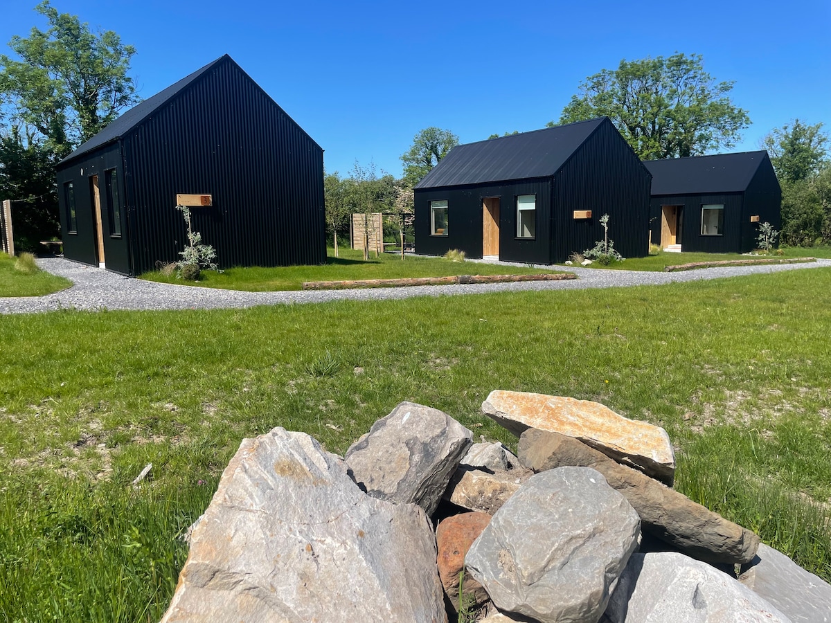 Hut site in Alternan ParkHut site · 405 yd
 IndicatedFairy fort / earthen ringfort · 444 yd
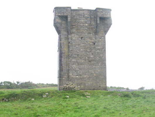 Carrownrush Towersignal tower · 1690 yd
 Split RockNamed rock · 1.1 mi
 CastleCastle, motte · 1.2 mi
 Ballynahowna CastleCastle, tower house · 1.3 mi
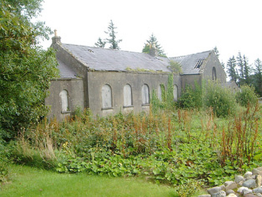 Dromore West Presbyterian Churchchurch/chapel · 1.4 mi
 DonaghHeadland · 1.9 mi
 Jim Smith MemorialMemorial · 2.4 mi
 Wild Atlantic Way: Easky PierVisitor information · 2.8 mi
 Eamonn's TopMountain / peak · 7.3 mi
 AnnatoranMountain / peak · 7.9 mi
Other information
Photo: National Inventory of Architectural Heritage · Website use allowed for educational or private purposes with source credit