What is recorded here
Situated on a low elevation in otherwise lowlying pasture. Raised roughly circular area (diam c. 17m) defined NE-NW by a scarp (H 0.8m at E, 1.4m at S), and truncated at N by an E-W field wall. Stones protrude from the sod along the top edge of the scarp. There is evidence for a possible Man-made underground passage (SL016-001001-) in the W half of the interior.
Compiled by: Jane O'Shaughnessy
Date of upload: 4 March 2013
The monument record does not grant public access. Check the route and ask the landowner before entering private land.
- What survives
- Recorded monument
Places near here
 Enclosure in CarranduffEnclosure · 586 yd
 Enclosure in LackanEnclosure · 838 yd
 Castle FirbisCastle, tower house · 1122 yd
 CastleCastle, unclassified · 1.2 mi
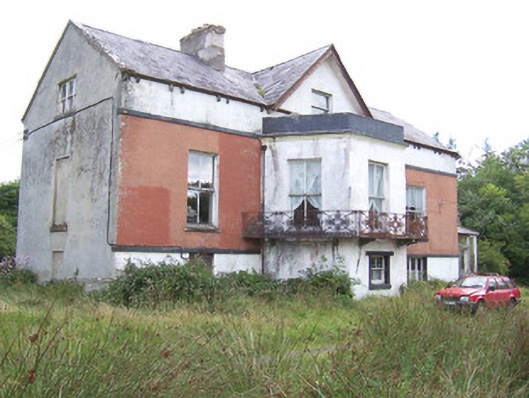 Kilglass Househouse · 1.3 mi
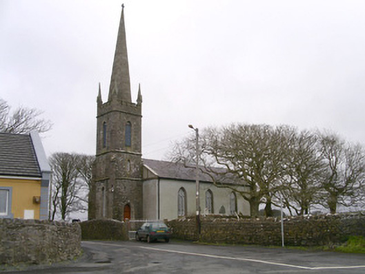 Kilglass Churchchurch/chapel · 1.4 mi
 Rathlee HeadHeadland · 2.1 mi
 Wild Atlantic Way: Inishcrone PierVisitor information · 2.4 mi
 Enniscrone BeachBeach / strand · 3.4 mi
 The Black PigMemorial · 3.6 mi
 Grave of the Black PigArchaeological place · 3.6 mi
 Horse IslandIslet · 4.7 mi