
What is recorded here
Situated in lowlying, level pasture adjacent to the abandoned hamlet of Carranduff. Not marked on the 1837 edition of the OS 6-inch map. On the 1913 edition it is depicted as an oval or sub-rectangular-shaped enclosure (c. 22m NW–SE; c. 11m NE–SW). There are no remains visible at ground level. According to local information, it was known as the ‘cattle pound’. There is an earthwork (SL010-015002-) c. 50m to SE.
Compiled by: Patrick F. O'Donovan
Date of upload: 19 January 2011
The monument record does not grant public access. Check the route and ask the landowner before entering private land.
- What survives
- Recorded monument
Places near here
 Enclosure in QuigabarEnclosure · 841 yd
 Enclosure in QuigaboyEnclosure · 1283 yd
 Castle FirbisCastle, tower house · 1628 yd
 CastleCastle, unclassified · 1706 yd
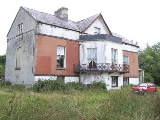 Kilglass Househouse · 1.5 mi
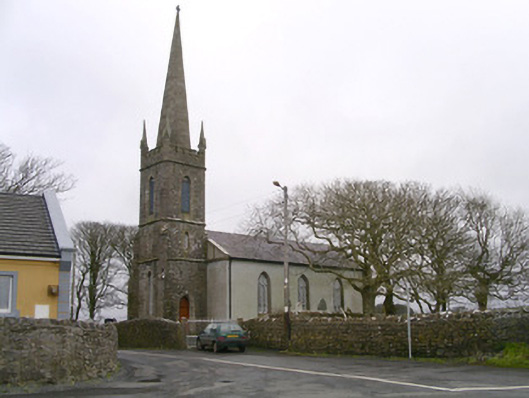 Kilglass Churchchurch/chapel · 1.6 mi
 Rathlee HeadHeadland · 1.8 mi
 Wild Atlantic Way: Inishcrone PierVisitor information · 2.7 mi
 Enniscrone BeachBeach / strand · 3.7 mi
 Grave of the Black PigArchaeological place · 3.9 mi
 The Black PigMemorial · 3.9 mi
 Bunowna PointHeadland · 4.9 mi
Other information
Photo: Credit not shown in the picture search · Rights wording not checked; contact us if this picture should be removed