What is recorded here
In rough pasture of long grass and yellow flag, in lowlying coastal terrain. Not listed in the SMR (1989) but listed as ‘moated site -possible’ in the RMP (1995) on the basis of a subrectangular feature noted in an aerial photograph (GSI G 103-4; Roll 157, print 14). The area was inspected in 2014. The feature noted in the aerial photograph corresponds to a roughly oval or subrectangular area (c. 25m NW–SE; c. 10-14m NE–SW) of flat ground, marked by shorter grass than elsewhere in the field, with a limekiln (SL010-031002-) at the NE end of the area. The S side of the flat area is defined by a slight scarp (H 0.3m) which curves in a shallow arc from the lime kiln for c. 25m to SW where it peters out in dense vegetation. The N side of the flat area is marked by a linear band (Wth c. 1m) of yellow flag. Another linear band of yellow flag extends from the limekiln for c. 10m to SW roughly through the centre of the flat area. The evidence does not warrant classifying this as a moated site. It is possible that the remains represent a levelled enclosure, or they may simply be the result of past cultivation/drainage activity associated with the limekiln. There is a moated site (SL010-019----) 75m to W.
In rough pasture of long grass and yellow flag, in lowlying coastal terrain. Not listed in the SMR (1989) but listed as ‘moated site -possible’ in the RMP (1995) on the basis of a subrectangular feature noted in an aerial photograph (GSI G 103-4; Roll 157, print 14). The area was inspected in 2014. The feature noted in the aerial photograph corresponds to a roughly oval or subrectangular area (c. 25m NW–SE; c.…
From the National Monuments Service (Archaeological Survey of Ireland) record SL010-031001
The monument record does not grant public access. Check the route and ask the landowner before entering private land.
- What survives
- Recorded monument
Places near here
Enclosure in QuigabarEnclosure · 208 ydCastle FirbisCastle, tower house · 666 yd Kilglass HouseHouse · 1363 ydKilglass ChurchChurch/chapel · 1524 ydWild Atlantic Way: Inishcrone PierVisitor information · 2.0 miRathlee HeadHeadland · 2.6 miTowerSignal tower · 2.7 miEnniscrone BeachBeach / strand · 3.1 miMoyne AbbeyHeritage attraction · 5.4 miRoslee CastleCastle, tower house · 5.5 miWild Atlantic Way: Easky PierVisitor information · 5.5 miRosserk AbbeyHeritage attraction · 5.9 mi
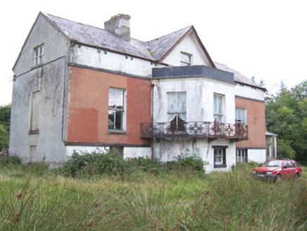 Kilglass HouseHouse · 1363 yd
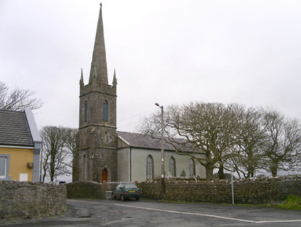 Kilglass ChurchChurch/chapel · 1524 yd
 Wild Atlantic Way: Inishcrone PierVisitor information · 2.0 miRathlee HeadHeadland · 2.6 mi
 TowerSignal tower · 2.7 mi
 Enniscrone BeachBeach / strand · 3.1 mi
 Moyne AbbeyHeritage attraction · 5.4 mi
 Roslee CastleCastle, tower house · 5.5 mi
 Wild Atlantic Way: Easky PierVisitor information · 5.5 mi
 Rosserk AbbeyHeritage attraction · 5.9 mi
Pictures: National Inventory of Architectural Heritage; Florentchevallier, Wikimedia Commons · CC BY-SA 4.0; Mike Searle, Geograph · CC BY-SA 2.0; Robin Mais, Geograph · CC BY-SA 2.0; Andreas F. Borchert, Wikimedia Commons · CC BY-SA 4.0; Michael Dibb, Geograph · CC BY-SA 2.0; Mick Garratt, Geograph · CC BY-SA 2.0
More archaeology and monuments in County Sligo · All of County Sligo
What do you know about this place?