What is recorded here
Carker Beg held a thirty-metre earthen ring on an east-facing slope until local people levelled it around 1846. The 1842 survey caught its circular shape before that much of the place vanished. It is gone now, but the erased line still belongs to the field.
In pasture, on E-facing slope. Depicted as hachured circular enclosure (diam. c. 30m) on 1842 OS 6-inch map. No visible surface trace; according to local information levelled c. 1846.
The above description is derived from the published 'Archaeological Inventory of County Cork. Volume 4: North Cork' (Dublin: Stationery Office, 2000). In certain instances the entries have been revised and updated in the light of recent research.
Date of upload/revision: 14 January 2009
The monument record does not grant public access. Check the route and ask the landowner before entering private land.
- What survives
- Recorded monument
Places near here
 Newtown Househouse · 458 yd
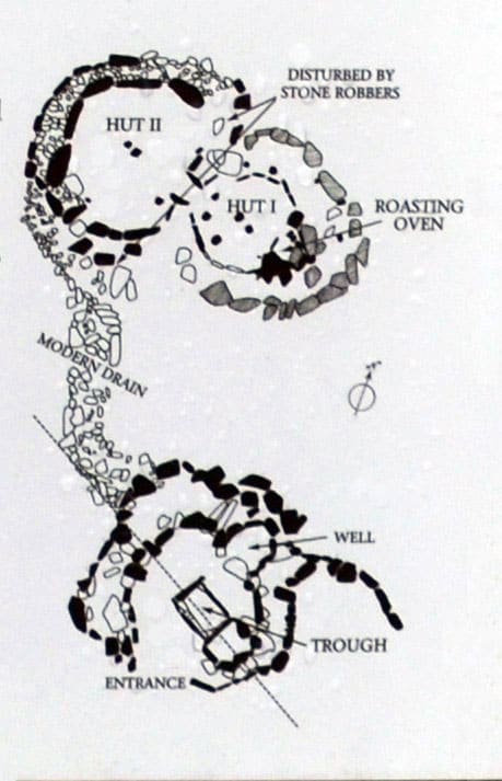 Fulacht FiadhFulacht fia · 537 yd
 Enclosure in SycamoreEnclosure · 702 yd
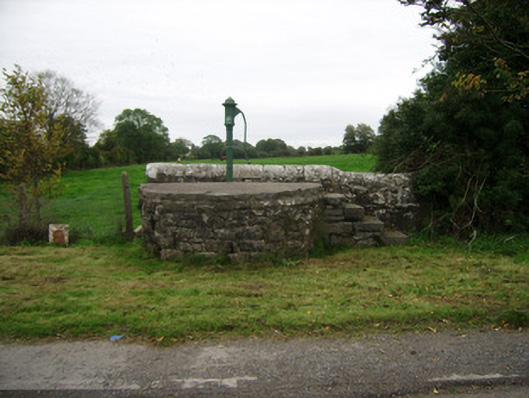 water pumpwater pump · 905 yd
 Brough WoodWood · 1024 yd
 Sweet ChestnutSweet Chestnut · 1614 yd
 Smith's WellSpring · 1619 yd
 Doneraile Castle (Site of)Castle, unclassified · 1677 yd
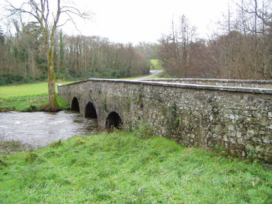 Doneraile Courtbridge · 1.0 mi
 Doneraile HouseHeritage attraction · 1.2 mi
 Castle Pook (in Ruins)Castle, tower house · 1.5 mi
 Coolfree MountainMountain / peak · 5.9 mi