What is recorded here
That is a large circular grass area at the highest point of an undulating plateau, marked as a fort only on the 1836 map. Its earthen bank has partly become a field boundary, leaving much of the perimeter hidden rather than lost. The site still occupies the top of the land, even when the shape has blurred into ordinary farm ground.
Situated at the highest point of an undulating plateau. A large embanked enclosure (ext. diam. c. 65m N-S; c. 65m E-W) annotated as a ‘Fort’ is depicted only on the 1836 edition of the OS 6-inch map. This is a circular grass-covered area (diam. c. 50m E-W) defined by an earthen bank (at NW: Wth of base 3m; int. H 0.4m; ext. H 1m) S-NW that is incorporated into a field bank NW-NE but there is no other clear evidence of the perimeter.
The above description is derived from the published 'Archaeological Inventory of County Meath' (Dublin: Stationery Office, 1987). In certain instances the entries have been revised and updated in the light of recent research.
Compiled by: Michael Moore
Date of upload: 10 July 2007
Amended: 3 August 2022
The monument record does not grant public access. Check the route and ask the landowner before entering private land.
- What survives
- Recorded monument
Places near here
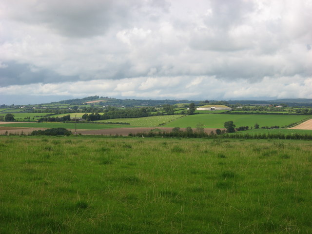 IndicatedEnclosure · 1240 yd
 Site of Old CastleCastle, unclassified · 1371 yd
 Cloghar WoodForest · 1645 yd
 Church (Site of)Church · 1751 yd
 Boyle's Fox CovertWood · 2.1 mi
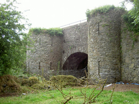 bridgebridge · 2.4 mi
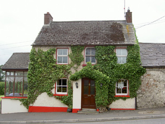 Forge Househouse · 2.4 mi
 Hurcle HillMountain / peak · 2.5 mi
 MoatCastle, motte · 2.6 mi
 Mount OrielMountain / peak · 2.6 mi
 Irish Military Museum And ParkMuseum · 2.7 mi
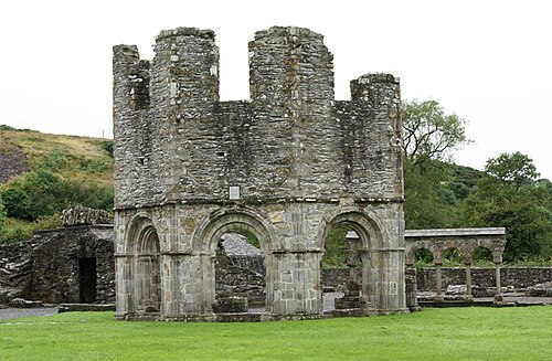 Mellifont AbbeyHeritage attraction · 2.8 mi