
What is recorded here
Situated at the summit of an E-W ridge in the NW SE valley of the Devlin River, with the stream c. 50m to the S. A church at Graungegeth is listed in the ecclesiastical taxation (1302-06) of Pope Nicholas IV (Cal. doc. Ire. 5, 261). Grangegeeth was part of the estate of the Cistercian monastery at Mellifont, which it may have served as an outfarm. As such it would have been largely self-sufficient, and would have had a chapel. At the Suppression in 1540 the Cistercians owned 180 acres, 12 messuages or properties, and three cottages at Graungethe, and customary services were due from 17 other cottages (White 1943, 217). By order of the King Robert Nangeley, a former monk, continued to officiate at the chapel in Graungeythe (ibid. 219). Ussher (1622) describes the church and chancel at Graungeethe as in reasonable repair (Erlington 1847-64, 1, xcvii). According to Dopping’s Visitation (1682-5) the church and chancel were ruined and it was not enclosed (Ellison 1973, 7). By the 19th century Grangegeeth had been raised to the dignity of a parish, but it was tithe free and did not possess a church (Lewis 1837, vol. 1, 691).
The site of this medieval chapel is within a rectangular graveyard (dims c. 35m WNW-ESE; c. 30m NNE-SSW) defined by stone-faced earthen banks or scarps. One of the graves is a mortsafe i.e. enclosed in an iron cage as a deterrent to grave-robbers (Mytum 2013). Cogan (1862-70, 2, 303) records the dimensions of the church as ’63 feet by 16 feet 6 inches (c. 19.2m x c. 5m)’. Only the base of the clay-bonded W wall (Wth 1.2m; int. L 4.7m; H 0.8m) and adjacent portions of the N (int. L 4.8m; Wth 1.15m; H 0.8-1m) and S (int. L 2m; max. H 0.5m) walls are visible.
The above description is derived from the published 'Archaeological Inventory of County Meath' (Dublin: Stationery Office, 1987). In certain instances the entries have been revised and updated in the light of recent research.
Compiled by: Michael Moore
Date of revision: 11 December, 2014
The site of Grangegeeth Church was recorded in the ecclesiastical taxation of Pope Nicholas IV between 1302 and 1306, indicating a Christian presence in the area during the late 13th or early 14th century; its builder and specific dedication are not recorded, but it reflects the medieval ecclesiastical network in the region.
The monument record does not grant public access. Check the route and ask the landowner before entering private land.
- What survives
- Recorded monument
Places near here
 Enclosure in GrangegeethEnclosure · 1679 yd
 Site of Old CastleCastle, unclassified · 1.1 mi
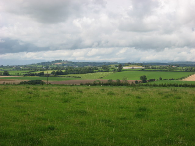 IndicatedEnclosure · 1.2 mi
 Boyle's Fox CovertWood · 1.3 mi
 Slieve BreaghMountain / peak · 1.7 mi
 Cloghar WoodForest · 1.9 mi
 MoatCastle, motte · 2.2 mi
 Monastic RuinsChurch · 2.3 mi
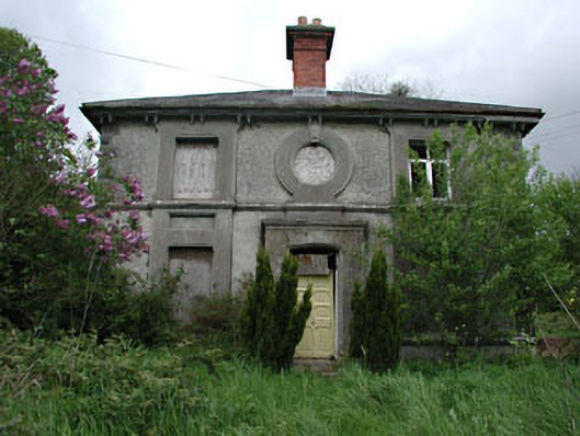 worker's houseworker's house · 2.5 mi
 Pat's Art StudioGallery · 2.8 mi
 RiverviewMemorial · 3.0 mi
 Simpson's MountainMountain / peak · 3.1 mi
Other information
Photo: Credit not shown in the picture search · Rights wording not checked; contact us if this picture should be removed