What is recorded here
Situated on a low rise, in pasture, with good views of the surrounding landscape. Depicted on the revised 1910 ed. OS 25-inch map as a subcircular-shaped earthwork (dims. 43m N-S; 45m E-W) cut across the W sector by a field boundary running roughly N-S with a small square-shaped enclosure or structure adjoining the E side, in the NW quadrant of the ringfort. Monument described in 1973 as a roughly circular-shaped area enclosed by an earth and stone bank, an intervening fosse and an outer bank. A house site (WM038-033001-) is visible in the NW quadrant. The monument is densely overgrown making close examination difficult. According to a field report of 1977, the W sector of the monument has been levelled to W of the field boundary running N-S. According to local information the ringfort was levelled in the early 1980s (pers. comm. Hugh Carey 17/07/1997). Levelled monument is visible today as a vague outline of a roughly circular-shaped earthwork on Digital Globe aerial photography which abuts a modern house plot to W.
Compiled by Alison McQueen, Vera Rahilly and Caimin O’Brien.
Date of upload: 18 December 2019
The monument record does not grant public access. Check the route and ask the landowner before entering private land.
- What survives
- Recorded monument
Places near here
 CloghstuckArchaeological place · 974 yd
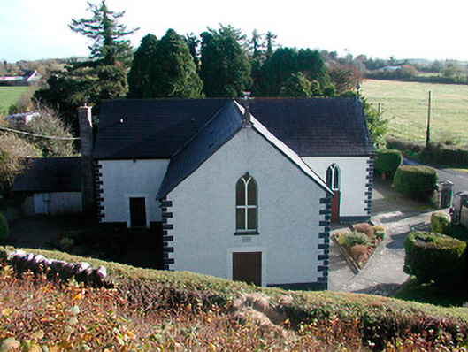 Saint Hugh's Catholic Churchchurch/chapel · 1480 yd
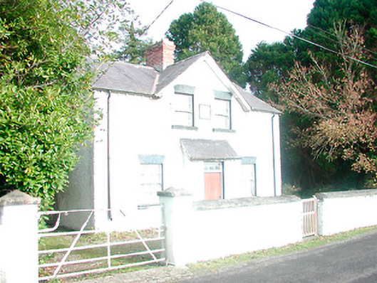 presbytery/parochial/curate's house, building miscpresbytery/parochial/curate's house, building misc · 1500 yd
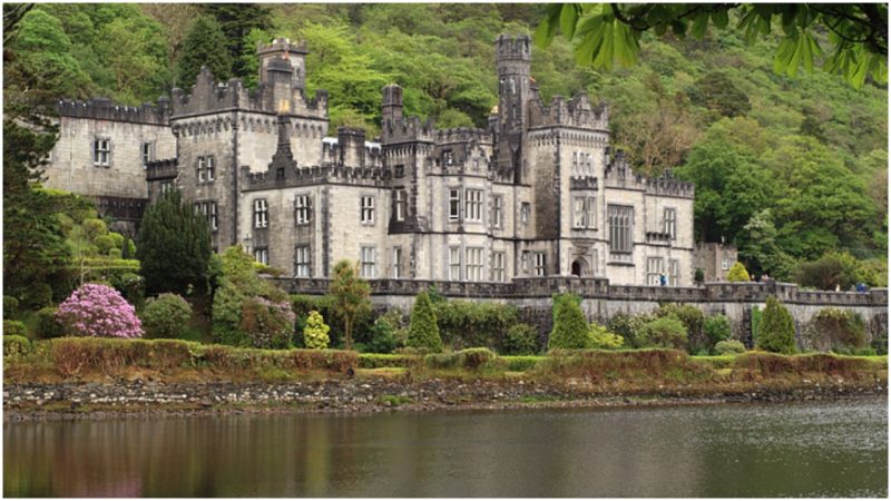 Kiltober CastleCastle, tower house · 1691 yd
 StructureStructure, peatland · 1.0 mi
 Ardan WoodWood · 1.1 mi
 Montrath Castle (in ruins)Castle, tower house · 1.4 mi
 Bonfire HillMountain / peak · 2.0 mi
 Lackan HillMountain / peak · 2.2 mi
 Bracklin WoodWood · 3.1 mi
 Graveyard in BallycommonGraveyard · 4.8 mi
 St. Columba's WellSpring · 4.9 mi