What is recorded here
Cappanahanagh held a small earthen fort on a sunny slope, overlooking a wide valley where people likely lived before the land was changed. The circular rampart stood near the hilltop enclosure of Lisgorey, giving its occupants a broad view across the countryside. Farmers levelled much of the monument during boundary work in the 1960s, yet a faint raised shadow still marks the place beneath the grass.
On a moderate SE-facing slope, in pasture with good views from E-SSE and panoramic views SSE-S-W. Hilltop enclosure or royal fort of Lisgorey (LI007-002----) 170m to N. Depicted on the OS 25-inch map as a roughly circular-shaped enclosure. Described by Lynch (1932, 42-3) as a 'small earthen fort'. Monument levelled in the 1960s when field boundary to W was removed. Site visited by the ASI in 1999 and described as a slightly raised circular-shaped area (20m N-S; 19m E-W) defined by a scarp (Wth 2m; H 0.25m). The interior has a SE-facing slope. Irregular undulations to N of site appears to be rock outcrop. Visible as a faint cropmark on Digital Globe orthophotos taken 2011-13 and Google Earth orthoimage taken 28/06/2018.
See attached Google Earth orthoimage
Compiled by: Alison McQueen and Vera Rahilly
Date of upload: 3 July 2020
A fairy fort / earthen ringfort in Cappanahanagh is a circular earthen enclosure typical of early-medieval Ireland, likely dating to between the 5th and 10th centuries. It is associated with local folklore concerning fairy activity and may have been considered a sacred or otherworldly site in traditional belief.
The monument record does not grant public access. Check the route and ask the landowner before entering private land.
- What survives
- Recorded monument
Places near here
 Killeen Burial GroundChildren's burial ground · 1156 yd
 Glenstal Abbeygate lodge · 1307 yd
 TuamanirvoreWedge tomb · 1340 yd
 IndicatedCastle, unclassified · 1402 yd
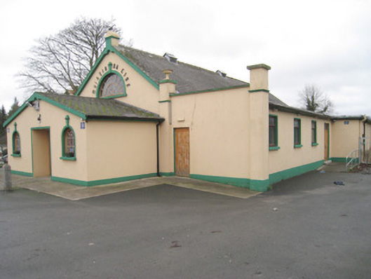 Moroe Muintir na Tíre Hallcommunity centre · 1706 yd
 Sliev Felim WayVisitor information · 1.2 mi
 Graveyard in AbingtonGraveyard · 2.4 mi
 Site of Derryleigh CastleCastle, unclassified · 2.8 mi
 Slieve Felim WayWalking route · 3.3 mi
 Slieve FelimMountain / peak · 4.2 mi
 KnockseefinMountain / peak · 7.5 mi
 The Pollagh TrailNature reserve · 7.5 mi