What is recorded here
Fairy fort / earthen ringfort in Caherycahill, County Clare, Ireland: A roughly square area (max. dims. c. 34m SW-NE) defined by broad banks (Wth >5m) visible on OSi MapGenie 2013-2018 and on Google Earth (imagery date: 18 March 2022). Westropp (1900, 427) lists a rath in Caherycahill townland that was named in an Inquisition of 1626 but was destroyed in 1900. This is potentially the site in question. Compiled by: Mary Tunney Date of upload: 4
Situated on a gentle S-facing slope in pasture. A roughly square area (max. dims. c. 34m SW-NE) defined by broad banks (Wth >5m) visible on OSi MapGenie 2013-2018 and on Google Earth (imagery date: 18 March 2022). Westropp (1900, 427) lists a rath in Caherycahill townland that was named in an Inquisition of 1626 but was destroyed in 1900. This is potentially the site in question.
Compiled by: Mary Tunney
Date of upload: 4 November 2025
A fairy fort or earthen ringfort in Caherycahill, likely dating to the early medieval period, is characterized by a roughly square enclosure with broad banks over 5 meters wide. Local tradition associates such sites with fairy folklore, reflecting their common perception as Otherworldly or supernatural places in Irish tradition.
This remains an important historical record, but the official description says the monument is no longer visible or has been destroyed. The monument record does not grant public access. Check the route and ask the landowner before entering private land.
- What survives
- No visible remains or recorded as destroyed
Places near here
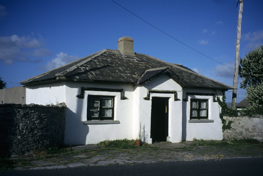 Seamount Housegate lodge · 162 yd
 John P. Holland CentreMuseum · 434 yd
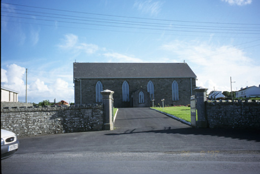 Saint Brigid's Catholic Churchchurch/chapel · 557 yd
 Enclosure in CaherycahillEnclosure · 595 yd
 Liscannor Castle (in Ruins)Castle, tower house · 747 yd
 Liscannor Fort (Site of)Fairy fort / earthen ringfort · 917 yd
 Bridget's Well;St Bridget's WellSpring · 1.2 mi
 CastleCastle, unclassified · 1.8 mi
 Lahinch BeachBeach / strand · 1.8 mi
 Liscannor BayBay · 2.2 mi
 Cliffs of Moher Visitor CentreVisitor information · 2.4 mi
 Cliffs of MoherCliff · 2.5 mi