
What is recorded here
A circular feature was noted on a high-altitude aerial photograph (GSIAP R 162) and it was listed as as 'Potential Site Air Photo' in the SMR (1992) and the RMP (1996). On inspection in 1998 no archaeological remains were found and the area was not typical for a rath or cashel. Local information alluded to the possibility of a rath further north in the field. No raths are currently identified in this townland but Westropp (1900, 427) lists one destroyed example for the townland, named in an Inquisition of 1626. Possibilities may be seen on OSi MapGenie 2013-2018 at ITM 506959, 688697 and 506241, 688765.
Compiled by: Mary Tunney
Date of upload: 4 November 2025
The monument record does not grant public access. Check the route and ask the landowner before entering private land.
- What survives
- Recorded monument
Places near here
 John P. Holland CentreMuseum · 509 yd
 Liscannor Fort (Site of)Fairy fort / earthen ringfort · 537 yd
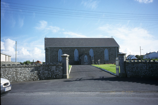 Saint Brigid's Catholic Churchchurch/chapel · 595 yd
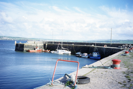 harbour/dock/portharbour/dock/port · 649 yd
 Liscannor Castle (in Ruins)Castle, tower house · 862 yd
 IndicatedFairy fort / earthen ringfort · 914 yd
 Bridget's Well;St Bridget's WellSpring · 1.5 mi
 Lahinch BeachBeach / strand · 1.5 mi
 Dough CastleRuins · 1.8 mi
 Liscannor BayBay · 2.4 mi
 Cliffs of Moher Visitor CentreVisitor information · 2.5 mi
 Cliffs of MoherCliff · 2.7 mi
Other information
Photo: Credit not shown in the picture search · Rights wording not checked; contact us if this picture should be removed