
What is recorded here
An O’Connor fort named Liscannor once stood north of the pier, but Irish Lights and landscaping erased its marks by 1998. Map makers kept calling the vanished fort a fort long after soil, stone and memory slipped away. The town still carries the name of what disappeared beneath its own making.
Just N of the pier in Liscannor. Named ‘Liscannor Fort – site of’ on the 1840 and 1916 OS 6-inch maps. Westropp (1910, 155) refers to ‘Passing the little seaport, on the site of the old “Liss” of the O’Conors, that gave the place its name…’. On inspection in 1998 the area was found to be landscaped and occupied by Irish Lights no archaeological remains were visible.
Compiled by: Mary Tunney
Date of upload: 4 November 2025
Liscannor Fort is a likely early-medieval ringfort situated just north of the pier in Liscannor. It is associated with the O’Conors, a prominent Gaelic dynasty, and its name "Liss" suggests a traditional settlement or stronghold, with local tradition and historical references hinting at its significance in early Irish history.
The monument record does not grant public access. Check the route and ask the landowner before entering private land.
- What survives
- Recorded monument
Places near here
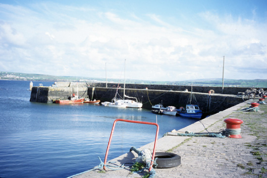 harbour/dock/portharbour/dock/port · 118 yd
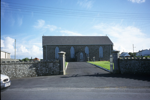 Saint Brigid's Catholic Churchchurch/chapel · 501 yd
 Enclosure in CaherycahillEnclosure · 537 yd
 John P. Holland CentreMuseum · 544 yd
 Liscannor Castle (in Ruins)Castle, tower house · 658 yd
 IndicatedFairy fort / earthen ringfort · 1167 yd
 Lahinch BeachBeach / strand · 1.3 mi
 Dough CastleRuins · 1.7 mi
 Bridget's Well;St Bridget's WellSpring · 1.7 mi
 Liscannor BayBay · 2.2 mi
 Cliffs of Moher Visitor CentreVisitor information · 2.8 mi
 Kilmanahn GraveyardRuins · 2.9 mi
Other information
Photo: Credit not shown in the picture search · Rights wording not checked; contact us if this picture should be removed