
What is recorded here
Indicated is a low earthen ringfort in rough pasture, County Clare, marked on the 1840 map but reduced to a barely visible platform and fragmented banks. It may have been a home, a boundary marker or a forgotten ritual place, now hidden beneath grass and rain. What remains is small enough to walk across in seconds, yet large enough to have held lives, arguments and rituals no longer spoken.
In rough pasture near the bottom of a S-facing slope c. 45m E of a stream. Hachured on the 1840 OS 6-inch map. A rath comprising a low subcircular platform (17m N-S; 14m E-W; H 0.25m) with three short stretches of earthen bank (Wth 1m; H 0.15m) along its perimeter. Wet ground around the platform may be indicative of a former fosse. The interior is level with no visible evidence for internal structures.
Compiled by: Mary Tunney and Eve Campbell
Date of upload: 15 August 2023
The monument record does not grant public access. Check the route and ask the landowner before entering private land.
- What survives
- Recorded monument
Places near here
 Kilmacreehy Ch. (in ruins)Church · 801 yd
 Enclosure in CaherycahillEnclosure · 914 yd
 Enclosure in LaghcloonEnclosure · 972 yd
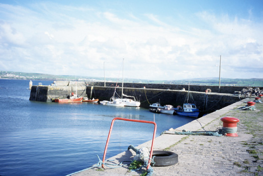 harbour/dock/portharbour/dock/port · 1270 yd
 John P. Holland CentreMuseum · 1415 yd
 Liscannor Castle (in Ruins)Castle, tower house · 1730 yd
 Lahinch BeachBeach / strand · 1.4 mi
 Dough CastleRuins · 1.4 mi
 Bridget's Well;St Bridget's WellSpring · 1.6 mi
 Cliffs of Moher Visitor CentreVisitor information · 2.4 mi
 Sea StackMountain / peak · 2.8 mi
 Kilmanahn GraveyardRuins · 2.8 mi
Other information
Photo: Credit not shown in the picture search · Rights wording not checked; contact us if this picture should be removed