What is recorded here
Fairy fort / earthen ringfort in Butlerstown (Kilsheelan parish) is a fairy fort or earthen ringfort in Butlerstown (Kilsheelan parish), County Tipperary, Ireland. It sits on the summit of a broad east-west ridge in gently rolling pasture, where a north-south field boundary cuts through the eastern quadrant. The portion east of that boundary has been levelled and shows no visible trace at ground level. The remaining possible ringfort measures 53.7 metres east-west, is tightly fenced, and holds a heavily overgrown interior.
On summit of broad E-W ridge in gently rolling pasture. Field boundary runs N-S through the E quadrant, portion of the monument E of this has been levelled, with no visible trace at ground level, and is indicated as such on the 1st (1840) ed. OS 6-inch map. Possible ringfort (diam. 53.7m E-W) is tightly fenced and interior is heavily overgrown with shrub. It is enclosed by a flat-bottomed fosse (Wth 2-3m; D above ext. 1.3-2m; D above int. 1.5-2.6m), no evidence of internal bank though the interior appears to be dished in profile, this may be the result of quarrying in the past. The monument is known locally as 'Ballinavaun'.
Compiled by: Jean Farrelly
Date of upload: 26 August 2011
This remains an important historical record, but the official description says the monument is no longer visible or has been destroyed. The monument record does not grant public access. Check the route and ask the landowner before entering private land.
- What survives
- No visible remains or recorded as destroyed
Places near here
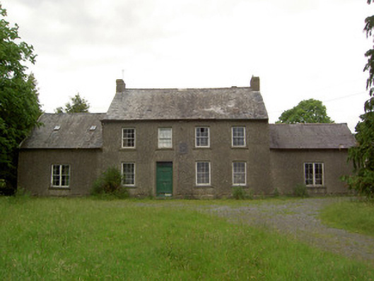 Mauganstown Housecountry house · 580 yd
 Gloragh WellsHoly well · 1621 yd
 Ballydine Ho.Castle, unclassified · 1734 yd
 LisbaltingEnclosure · 1.1 mi
 Glen Castle (in ruins)Castle, tower house · 1.1 mi
 Dysart HouseOfficially recorded historic building · 1.2 mi
 Maurice DavinMemorial · 1.3 mi
 Thomas KielyMemorial · 2.0 mi
 Churchtown WoodForest · 2.0 mi
 Kilcash WoodForest · 2.0 mi
 Carrigaloe RockNamed rock · 2.4 mi
 CarrigcoumMountain / peak · 2.5 mi