What is recorded here
Situated on a slight WNW-facing slope, in gently undulating pasture with excellent views to WSW, W, and N. Lady Well (WM023-089----) 60m to SSE. Monument described in 1971 a roughly circular-shaped area (dims. 34m NW-SE; 33m NE-SW) enclosed by a poorly preserved earthen bank that is much disturbed and almost reduced to a scarp. The original entrance is not recognisable and there is no definite trace of an external fosse. The interior has a gentle ESE-facing slope and several humps and hollows which are due to disturbance. There is a post-1700 quarry hole adjacent to NE. Modern house and garden plot built into N quadrant of enclosure which is visible on Digital Globe aerial photographs.
See attached profile of monument which was surveyed and drawn by the ASI
Compiled by Alison McQueen, Vera Rahilly and Caimin O’Brien.
Date of upload: 25 July 2019
The monument record does not grant public access. Check the route and ask the landowner before entering private land.
- What survives
- Recorded monument
Places near here
 Killininneen Househouse · 501 yd
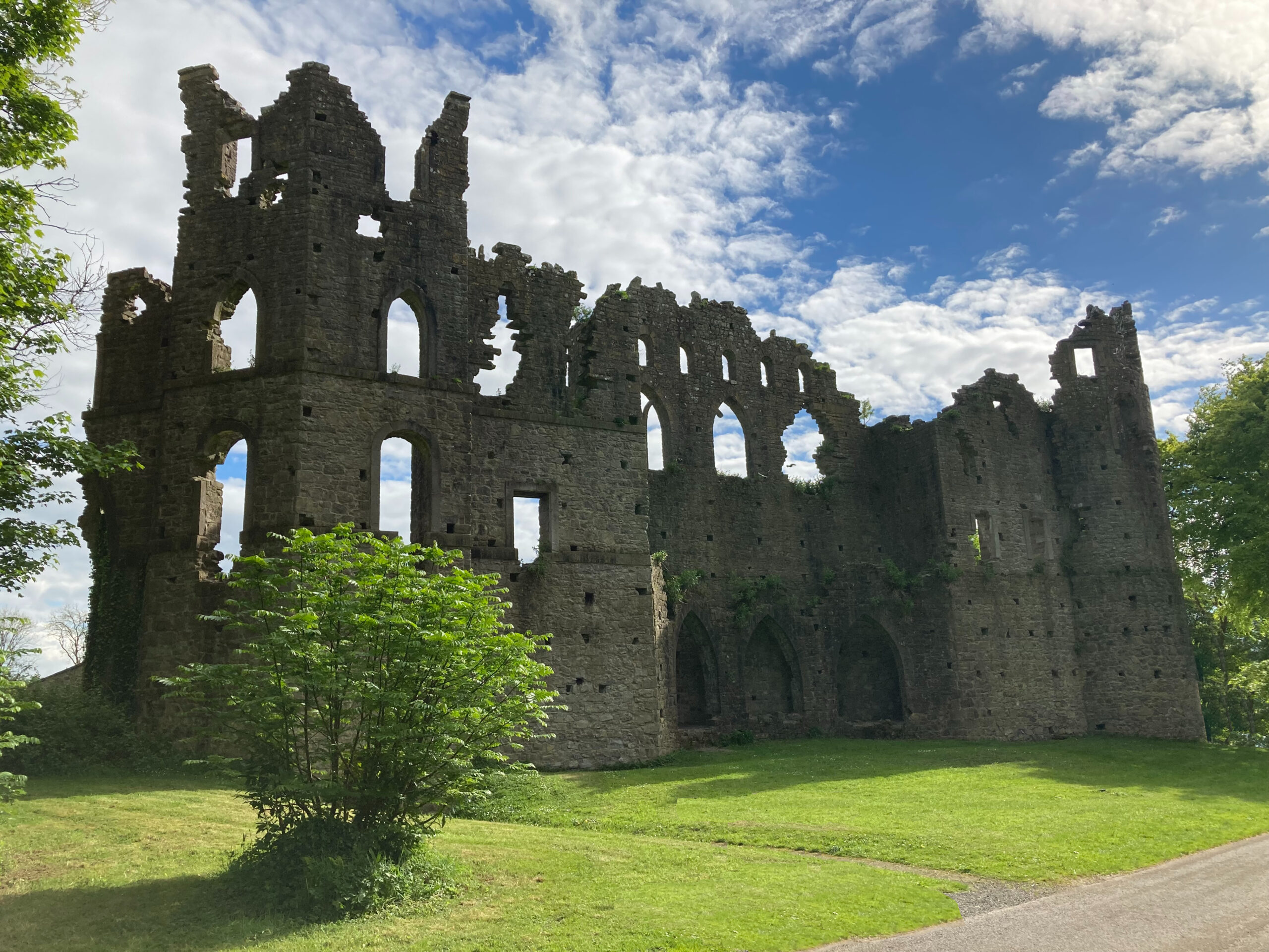 Sterns Folly, The BreenCastle, ringwork · 642 yd
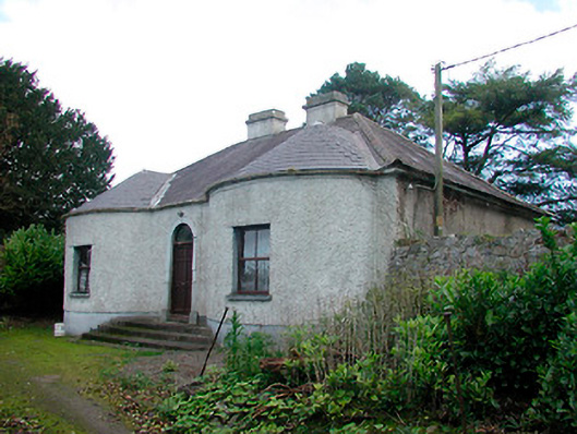 Walderstown Lodgehouse · 1090 yd
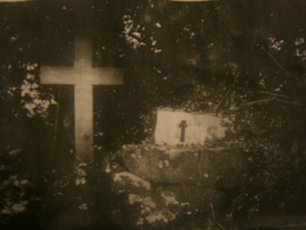 Mass-rock in KillininneenMass-rock · 1291 yd
 IndicatedFairy fort / earthen ringfort · 1614 yd
 Ardnagragh CastleCastle, tower house · 1.3 mi
 Noughaval CemeteryArchaeological place · 4.1 mi
 Dún na Sí Heritage CentreMuseum · 4.5 mi
 Dún na SíMuseum · 4.5 mi
 Charles BianconiMemorial · 5.1 mi
 Moate HillMountain / peak · 5.3 mi