What is recorded here
Fairy fort in Briscarnagh, County Monaghan: a circular earthen ring on the drumlin summit, 27 metres across, with a broken bank and east entrance. People called it a fairy fort because the shape appeared sudden and incomplete, as if human tools had stopped mid-work. The land may have hidden a household, a boundary marker, or a warning about what lives beneath green ridges.
Situated on the summit of and at the centre of a NE-SW drumlin ridge. This is a circular grass and scrub-covered area (diam. 27m E-W; 25m N-S) defined by an overgrown earthen bank that is best preserved (at W: Wth of base 4.3m; int. H 0.2m; ext. H 1.65m) SSE-W and slightly truncated by a NW-SE field bank at NE. There is no visible fosse but the probably entrance (Wth of base 1.8m) is at ESE.
The above description is derived from the published 'Archaeological Inventory of County Monaghan' (Dublin: Stationery Office, 1986). In certain instances the entries have been revised and updated in the light of recent research.
Revised by: Michael Moore
Date of revision: 9 May 2018
The monument record does not grant public access. Check the route and ask the landowner before entering private land.
- What survives
- Recorded monument
Places near here
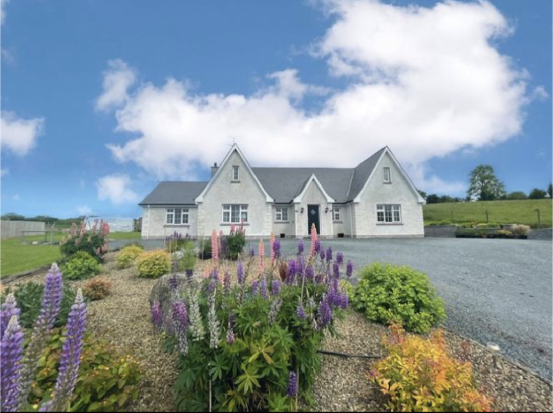 IndicatedFairy fort / earthen ringfort · 1041 yd
 CarnroeCairn, unclassified · 1398 yd
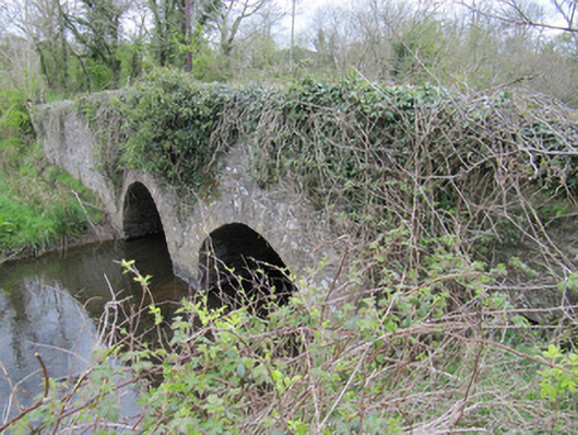 bridgebridge · 1.1 mi
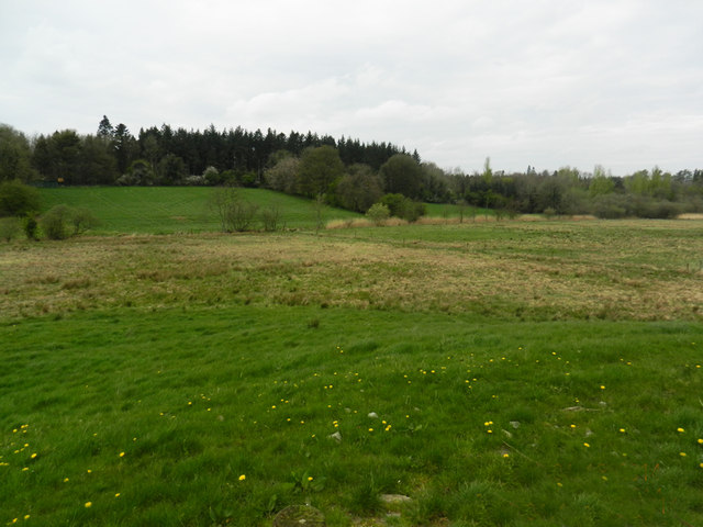 Carn WoodForest · 1.2 mi
 Cush WoodWood · 1.3 mi
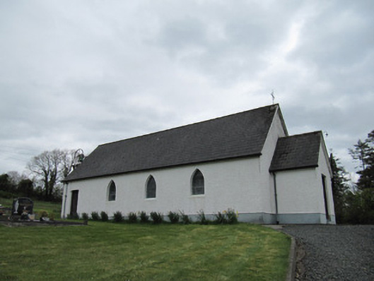 Corrinshigo Catholic Churchchurch/chapel · 1.4 mi
 LattacrossanMountain / peak · 1.4 mi
 CallowhillMountain / peak · 2.3 mi
 Drumcarn Ho.Castle, unclassified · 3.8 mi
 Bawn in DrumsheilBawn · 4.0 mi
 Ulster Canal Stores Visitor CentreHeritage attraction · 4.2 mi
 Saint John's WellSpring · 4.4 mi