What is recorded here
Situated on a local height in an undulating landscape. A circular embanked enclosure (ext. diam. c. 45m) is depicted on the 1834 edition of the OS 6-inch map where it is described in gothic lettering as a ‘fort’, and it is represented as a curve of field bank (Chord c. 40m) SW-NW on the 1907 edition. The curving field bank is extant SW-NW but no archaeological feature is visible at ground level in pasture. Revised by: Michael Moore
Date of revision: 9 May 2018
From the National Monuments Service (Archaeological Survey of Ireland) record MO017-070
The monument record does not grant public access. Check the route and ask the landowner before entering private land.
- What survives
- Recorded monument
Places near here
Photo credits
- Stan Courtney, Geograph · CC BY-SA 2.0
- National Inventory of Architectural Heritage
- Malene Thyssen, Wikimedia Commons · CC BY-SA 3.0
- Kenneth Allen, Geograph · CC BY-SA 2.0
- Andreas F. Borchert, Wikimedia Commons · CC BY-SA 4.0
- Simonchadwick1023, Wikimedia Commons · CC BY-SA 4.0
 Carn WoodForest · 1130 yd
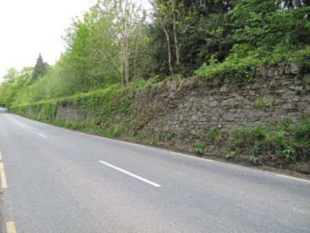 Hilton ParkDemesne walls/gates/railings · 1395 yd
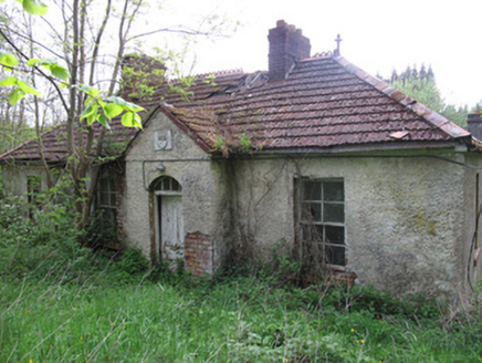 Hilton ParkHunting/fishing lodge · 1525 yd
 European Beech1.2 miLattacrossanMountain / peak · 1.5 miCallowhillMountain / peak · 2.3 miEmbanked enclosureBawn · 3.6 mi
Explorer Tom This embanked enclosure in Pottle East looks like a fort on old maps, with a raised rectangular area; maybe it’s the castle depicted at Donmory on the Civil Survey.
 Ulster Canal Stores Visitor CentreHeritage attraction · 3.7 mi
 Shrine in CrossmoyleShrine · 3.8 mi
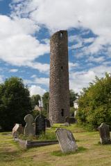 Round Tower3.8 mi
 Abbey RuinsHeritage attraction · 3.8 miDrumcarn HouseCastle, unclassified · 4.1 mi
Explorer Tom Drumcarn House, reputedly built by the Saundersons, is now buried under a modern farmyard with no visible remains at all.
More archaeology and monuments in County Monaghan · All of County Monaghan
What do you know about this place?