What is recorded here
Fairy fort in Breeny More: a 30-metre earthen ring on a pasture slope, with a gap to the south and a shallow ditch inside its bank. People may have lived there, kept stock there, or simply avoided it after dark; the shape still does not explain which.
In pasture, on NNW-facing slope. Circular area (30.5m N-S; 31.3m E-W) enclosed by earthen bank (H 1.5m) N->W; scarp W->N; shallow fosse NNE->S. Gap in bank to S.
The above description is derived from the published 'Archaeological Inventory of County Cork. Volume 1: West Cork' (Dublin: Stationery Office, 1992). In certain instances the entries have been revised and updated in the light of recent research.
Date of upload/revision: 14 January 2009
A fairy fort / earthen ringfort in Breeny More is a circular early-medieval defensive or domestic site, likely dating to between the 5th and 10th centuries AD. Local folklore associates such sites with the supernatural, often believed to be dwellings of the fairies or ancient spirits.
The monument record does not grant public access. Check the route and ask the landowner before entering private land.
- What survives
- Recorded monument
Places near here
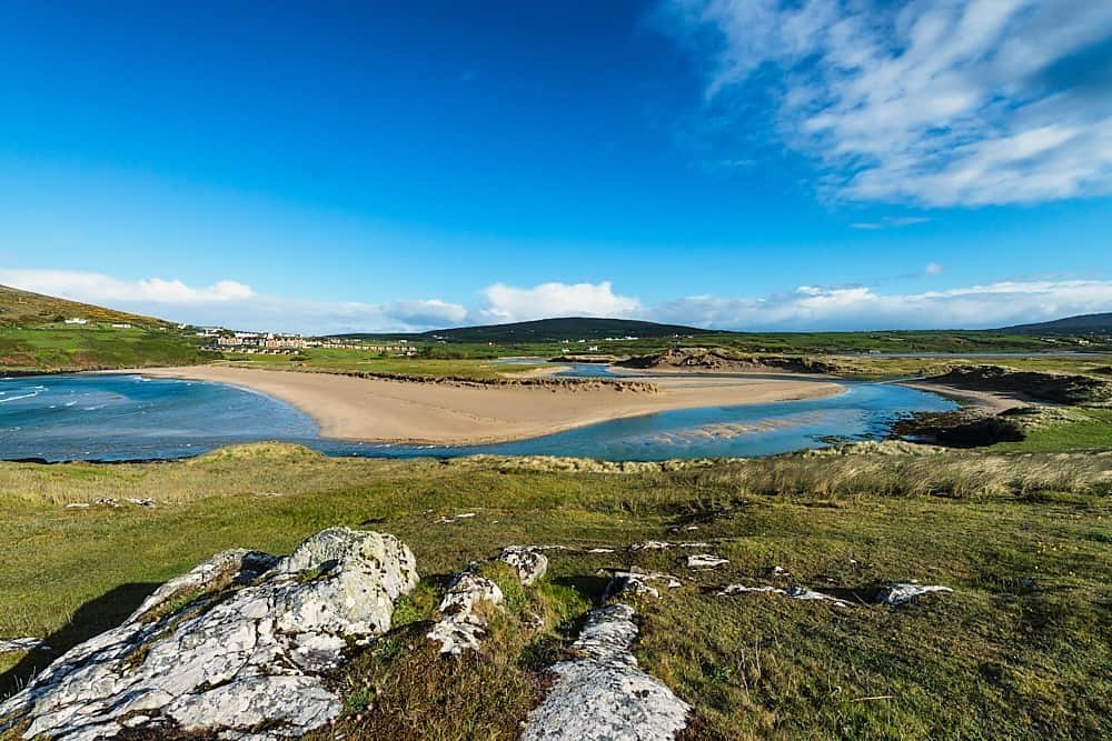 GallaunsBoulder-burial · 72 yd
 Kealkill stone circleVisitor information · 498 yd
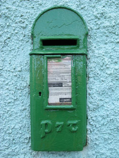 post boxpost box · 1023 yd
 Carriganass Bridgebridge · 1504 yd
 Carriganass CastleCastle · 1512 yd
 IndicatedFairy fort / earthen ringfort · 1.0 mi
 Bulls PocketMountain / peak · 1.6 mi
 KnockbreteenMountain / peak · 1.9 mi
 St Finbarr's Pilgrim RouteWalking route · 2.4 mi
 Daly's LoopWalking route · 3.1 mi
 Castle (in Ruins)House, fortified house · 3.3 mi
 Snave StrandBeach / strand · 3.4 mi