What is recorded here
Situated on a very slight rise, in gently undulating pasture. Monument described in 1971 as a roughly circular-shaped area (diam. 35m) enclosed by a bank and external fosse with a gap (Wth at top 3.7m; basal Wth 1.1m) at SSE which probably represents the entrance. A second gap at NE appears to be relatively modern. The earth and stone bank is steep on the exterior, although is almost reduced to a scarp and has several slight disturbance gaps. There is a modern stone wall extending along the exterior of the scarp and covering the outer lip of the fosse from W-NNW. A modern earth and stone field fence is built against the foot of the scarp from S-W. The interior is divided into two almost equal parts by a modern stone wall running ENE-WSW. There is a complex of mounds and banks of earth and stone in the N quadrant which do not form any recognisable plan.
Compiled by Alison McQueen, Vera Rahilly and Caimin O’Brien.
Date of upload: 28 August 2019
The monument record does not grant public access. Check the route and ask the landowner before entering private land.
- What survives
- Recorded monument
Places near here
 Killgarvan Househouse · 345 yd
 IndicatedField system · 645 yd
 CastleCastle, unclassified · 678 yd
 Sam's ParkForest · 704 yd
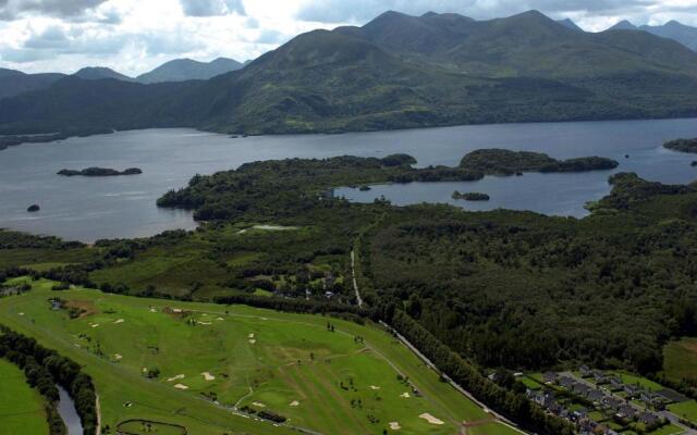 OutlinedFairy fort / earthen ringfort · 980 yd
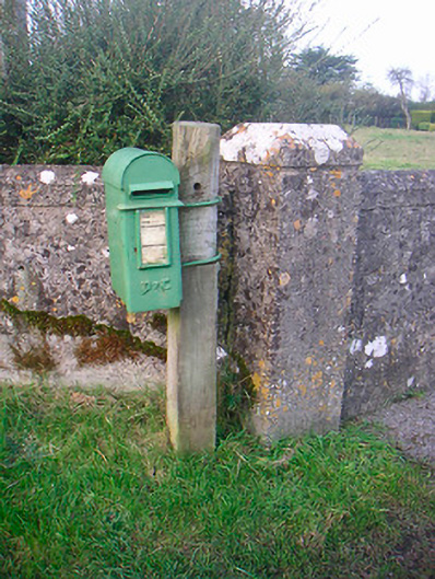 post boxpost box · 1171 yd
 Killeenbrack CastleCastle · 1.2 mi
 KnockastiaMountain / peak · 1.7 mi
 Japanese pagoda treeJapanese pagoda tree · 2.0 mi
 Craft WorkshopHeritage attraction · 8.7 mi
 Guest ServicesVisitor information · 8.7 mi
 Noughaval CemeteryArchaeological place · 9.1 mi