What is recorded here
Situated on gently rising ground with good views from NE-SE and restricted views in other directions. Bracklin House located 740m to W. A sub-circular shaped area (approx. diam. 30m N-S; 28m E-W) enclosed by three earthen banks, two intervening fosses and an outer fosse. The outer bank and fosse are poorly preserved, and have been levelled at E and S. There is an entrance gap in the inner bank at SW, and a second possible entrance at SE. The monument is covered in a plantation of conifers.
See attached profile of monument surveyed and drawn by the ASI.
Compiled by: Frank Coyne and Caimin O'Brien
Date of upload: 27 August 2018
The monument record does not grant public access. Check the route and ask the landowner before entering private land.
- What survives
- Recorded monument
Places near here
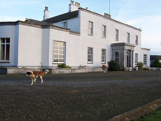 Bracklyn Housecountry house · 860 yd
 Crooked WoodField system · 1108 yd
 Martinstown Castle in RuinsCastle, tower house · 1.4 mi
 OutlinedFairy fort / earthen ringfort · 1.5 mi
 Craddenstown Housecountry house · 1.8 mi
 Killagh Ho. & CastleCastle, tower house · 2.0 mi
 ScregganWood · 2.7 mi
 GinkgoGinkgo · 3.4 mi
 Kells HillMountain / peak · 8.3 mi
 Slieve GullionMountain / peak · 9.6 mi
 Croppies' GraveMemorial · 9.7 mi
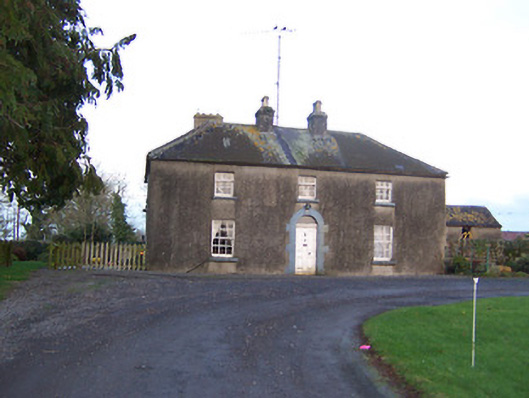 Ashlawnhouse · 1.8 mi