What is recorded here
Fairy fort is an earthen ringfort with a 34-metre grass-covered centre, broken outer banks and a shallow outer ditch on a ridge above Boynagh. The surviving earthworks suggest a defensive rath rather than an ordinary field enclosure, although no entrance is certain and a later field bank cuts across the site. People may have lived, hidden or marked boundary there before the land was divided again, while local wonder still calls the ruins a fairy fort.
Situated just SE of the summit of a NW-SE ridge. This is a circular grass-covered and slightly raised area (diam. 34m N-S) defined by a scarp (Wth 6-8m; H 1.1-1.5m at S) separated by a berm (Wth 2-3m) from an earthen bank (Wth of base 9-10m; int. H 1.4-1.7m; ext. H 3.3m) with some trees that only survives S-N-E. It has an outer fosse (at WNW: Wth of top 9.5m; Wth of base 2m; ext. D 1.4m) S-W-N, with a third outer bank (at SSW: Wth of base 4.5m; ext. H 0.6m) or a field bank surviving S-NW. An original entrance is not identified (max. ext. diam. 78m N-S). The monument is cut by an E-W field bank with a drain on its S side N of the centre, and the defining features barely survive E-S. Without an inner bank this feature could be interpreted as a prehistoric enclosure but the outer fosse suggests that it is a defensive earthwork rath.
The above description is derived from the published 'Archaeological Inventory of County Meath' (Dublin: Stationery Office, 1987). In certain instances the entries have been revised and updated in the light of recent research.
Compiled by: Michael Moore
Date of revision: 31 August 2018
Amended: 14 December 2022
The monument record does not grant public access. Check the route and ask the landowner before entering private land.
- What survives
- Recorded monument
Places near here
 The CurraghWood · 717 yd
 Portal tomb in ErveyPortal tomb · 980 yd
 IndicatedEnclosure · 1512 yd
 Miltown GlenWood · 1.1 mi
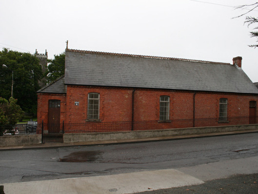 Kingscourt Parochial Hallchurch hall/parish hall · 1.3 mi
 Church of the Immaculate Conceptionchurch/chapel · 1.3 mi
 CabraMountain / peak · 2.2 mi
 Castle in ruinsCastle, unclassified · 2.4 mi
 Fair of MuffMemorial · 2.4 mi
 In Memory of Our DadMemorial · 2.5 mi
 Castle ruinsCastle, unclassified · 2.5 mi
 BarleyhillMountain / peak · 2.8 mi