What is recorded here
Situated on the gentle W-facing slope of a low, roughly NE-SW ridge, in gently undulating terrain, under pasture. The site was levelled in 1983 (Stout 1984, 42), but the E side (diam. c. 34m NW-SE) is still visible as a platform (H 0.22m) enclosed by a shallow fosse (Wth 3m; D 0.13m) and a low, much flattened outer bank (Wth c. 4m) and possible external fosse. There is a possible causewayed entrance in the SE sector (Wth c. 3.5m). Faint traces of both banks were still visible during the Ikerrin Survey (ibid.).
The above description is derived from 'The Archaeological Inventory of County Tipperary. Vol. 1 - North Tipperary' compiled by Jean Farrelly and Caimin O'Brien (Dublin: Stationery Office, 2002). In certain instances the entries have been revised and updated in the light of recent research.
Date of upload/revision: 22 September 2008
The monument record does not grant public access. Check the route and ask the landowner before entering private land.
- What survives
- Recorded monument
Places near here
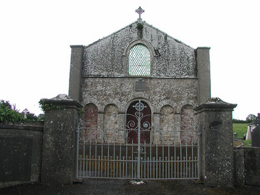 Saint Patrick's Catholic Chapelchurch/chapel · 271 yd
 Castle (in ruins)Castle, tower house · 1314 yd
 IndicatedEnclosure · 1.0 mi
 Church in Bawnmadrum NorthChurch · 1.2 mi
 EnclosureEnclosure, large enclosure · 1.3 mi
 Black HillMountain / peak · 1.5 mi
 Carricknasrock WoodWood · 2.0 mi
 OutlinedCastle, Anglo-Norman masonry castle · 2.9 mi
 Longford WoodForest · 3.5 mi
 Roscrea Petty Sessions HouseHeritage attraction · 4.4 mi
 College HillMountain / peak · 4.8 mi
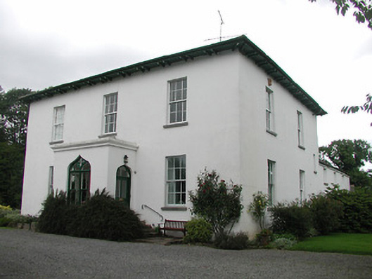 Aghsmear Househouse · 1.2 mi