What is recorded here
Bogtown holds a forgotten circular fort thirty-five metres wide, its shallow ditch still drawing moisture from the soil long after the main wall vanished. Anthony Murphy first identified the ghostly ring, joining it to a larger enclosure nearby on the flat Louth landscape. The fairies may have taken the stones, but the earth remembered the shape, revealing itself only when drought or rain changed the colour of the field.
Situated on a fairly level landscape. The cropmark of a circular enclosure (diam. c. 35m) defined by a fosse feature (Wth c. 2-3m) is visible on Google Images (27/06/2019). The large enclosure (LH014-095----) is c. 100m to the WSW. The rath was first reported by Anthony Murphy.
Compiled by: Michael Moore
Date of upload: 11 November 2019
The monument record does not grant public access. Check the route and ask the landowner before entering private land.
- What survives
- Recorded monument
Places near here
 EnclosureEnclosure, large enclosure · 166 yd
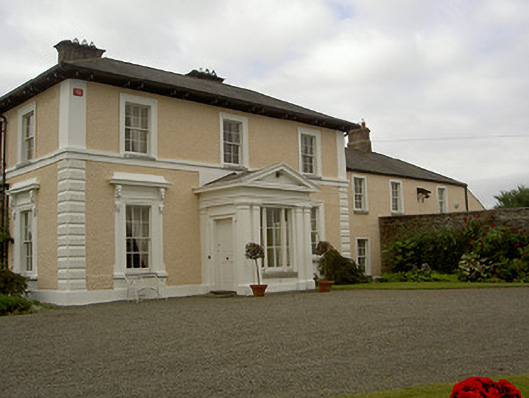 Dowdstown Housecountry house · 582 yd
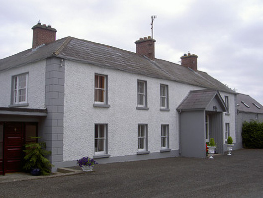 Streamstown Househouse · 906 yd
 MoatCastle, motte and bailey · 1435 yd
 Lisrenny (Site of)Enclosure · 1660 yd
 Long PlantationForest · 1.5 mi
 Roodstown CastleCastle, tower house · 1.7 mi
 European BeechEuropean Beech · 1.8 mi
 Graveyard in StickillinGraveyard · 2.5 mi
 Graveyard in Richardstown (ardee By., Richardstown Par.)Graveyard · 3.4 mi
:no_upscale()/cdn.vox-cdn.com/uploads/chorus_asset/file/25593391/County_Louth_6th.jpg) LouthMountain / peak · 3.9 mi
LouthMountain / peak · 3.9 mi Drummeenagh HillMountain / peak · 5.0 mi