What is recorded here
Fairy forts are not fairy forts. They are human rings, usually old, built by ordinary people for ordinary reasons. The fairy name comes later. It is a label for age, size and distance. What is clear is that people made a complete circle. They measured space, moved earth and repeated the shape. The forgotten part is only the name of the living owner. The ring still exists because the act was complete.
In pasture, on E edge of break in E-facing slope. Monument, depicted as embanked circular enclosure (diam. c. 35m) on 1841 OS 6-inch map, has been partially levelled. Curved section of earth-and-stone bank (int. H 0.5m; ext. H 0.7m) remains NW->NE. Bank, covered with mature bushes, is truncated S->NW by field boundary travelling on N-S axis. No surface trace of enclosing element NE->S. Interior, under pasture, slopes down towards centre.
Compiled by: Denis Power
Date of upload: 26 August 2011
The monument record does not grant public access. Check the route and ask the landowner before entering private land.
- What survives
- Recorded monument
Places near here
 Partially IndicatedEnclosure · 351 yd
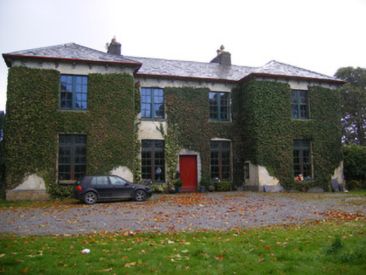 Beechmount Housecountry house · 770 yd
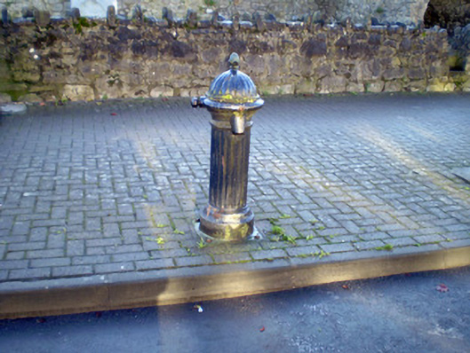 water pumpwater pump · 1381 yd
 Burial GroundBurial ground · 1574 yd
 Bawn in Amogan MoreBawn · 1.3 mi
 Glebe CastleCastle · 1.6 mi
 Flat cemetery in CroaghFlat cemetery · 1.7 mi
 TobernablahySpring · 2.8 mi
 European ashEuropean ash · 3.5 mi
 Flat cemetery in Kiltenan SouthFlat cemetery · 3.5 mi
 St. Kieran's WellSpring · 3.9 mi
 Little HeavenHeritage attraction · 4.6 mi