What is recorded here
No visible fortification. A shallow, broken circle of earth and stone, half-swallowed by thistles and overgrowth, sits beside an ordinary farmyard in County Limerick. The so-called fairy fort is not a grand ruin but a truncated ring, its boundary blurred by a field wall and a gap wide enough for a person to walk through. What remains is less a fortress than a suggestion: a small, ancient enclosure reduced to a line in the pasture, waiting to be imagined rather than read.
In pasture, on gentle S-facing slope, immediately to N of farmyard. Circular area (26m N-S) enclosed by earth-and-stone bank NW->SW but truncated SW->NW by dry-stone field boundary travelling N-S (interior now 21.5m E-W). Bank (int. H 0.5m; ext. H 0.3m), heavily masked by overgrowth, becomes quite linear NW->NNE. Gap in bank (Wth 3.2m) at SSE. Interior, covered with thistles, slopes down to SW. Just N of centre are six metal uprights, embedded in concrete, which formerly were part of a hay barn.
Compiled by: Denis Power
Date of upload: 26 August 2011
The monument record does not grant public access. Check the route and ask the landowner before entering private land.
- What survives
- Recorded monument
Places near here
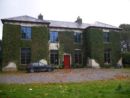 Beechmount Housecountry house · 521 yd
 Partially IndicatedEnclosure · 611 yd
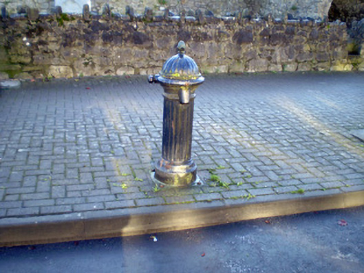 water pumpwater pump · 1175 yd
 Burial GroundBurial ground · 1669 yd
 Bawn in Amogan MoreBawn · 1.3 mi
 Glebe CastleCastle · 1.5 mi
 Flat cemetery in CroaghFlat cemetery · 1.8 mi
 TobernablahySpring · 2.7 mi
 European ashEuropean ash · 3.3 mi
 Flat cemetery in Kiltenan SouthFlat cemetery · 3.6 mi
 St. Kieran's WellSpring · 3.8 mi
 Little HeavenHeritage attraction · 4.7 mi