What is recorded here
Beneath the Beechmount pasture, a forgotten ringfort holds its shape in a narrow earthen bank and shallow ditch. The south edge has been pushed back into a straight line, perhaps for a road or field boundary, but the east and west curves still mark a small human world. It is the kind of place where people lived, loved and died before written history arrived to name them.
In pasture, on gentle N-facing slope below top of ridge. Sub-circular area (19m N-S; 17m E-W) enclosed by earthen bank with external fosse (D 0.1m; Wth 1m). Bank (int. H 0.15m; ext. H 0.45m), becomes scarp-like (H 0.55; Wth 2.1m) NW->SE; it has been pushed back to form linear edge S->SSW. Fosse best preserved ENE->S. Interior, under rough pasture, slopes down gently to E.
Compiled by: Denis Power
Date of upload: 26 August 2011
The monument record does not grant public access. Check the route and ask the landowner before entering private land.
- What survives
- Recorded monument
Places near here
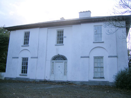 The Rectoryrectory/glebe/vicarage/curate's house · 608 yd
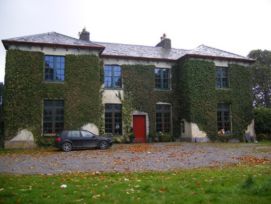 Beechmount Housecountry house · 782 yd
 Enclosure in Ballywilliam SouthEnclosure · 1151 yd
 Holy well in BallymacaveHoly well · 1478 yd
 Bawn in Amogan MoreBawn · 1.2 mi
 Glebe CastleCastle · 1.4 mi
 Flat cemetery in CroaghFlat cemetery · 2.3 mi
 TobernablahySpring · 2.7 mi
 European ashEuropean ash · 2.7 mi
 Flat cemetery in Kiltenan SouthFlat cemetery · 3.5 mi
 St. Kieran's WellSpring · 3.8 mi
 KnockfeerinaMountain / peak · 5.4 mi