What is recorded here
A circular fort measured forty metres across before roads and ploughs cut through it. The 1837 map still calls it a fort, but local memory has renamed it a fairy fort, suggesting people stopped trusting the ground and started fearing what lived beneath it.
On a gentle SSW-facing slope in pasture. Depicted as an oval enclosure with the designation 'Fort' on the 1837 ed. of the OS 6-inch map. The monument, which is largely levelled, is bisected by a modern NNE-SSW roadway. The areas to the WNW and ESE of the road are defined by a low scarp (H 0.35m) with traces of a shallow external depression (Wth 3.2m; D 0.1m), which possibly marks the remains of a fosse. The area enclosed was roughly circular (diam. c. 40.5m).
Compiled by: Patrick F. O'Donovan
Date of upload: 26 August 2011
The monument record does not grant public access. Check the route and ask the landowner before entering private land.
- What survives
- Recorded monument
Places near here
 Enclosure in MollyroeEnclosure · 802 yd
 Fulacht fia in Lisduff (montgomery)Fulacht fia · 1058 yd
 National Famine WayWalking route · 1173 yd
 Bawn in CastlereaBawn · 1239 yd
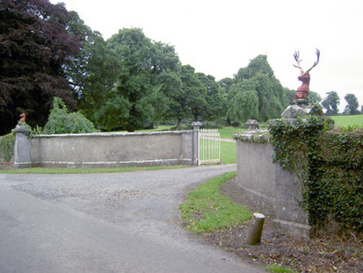 Castlereagates/railings/walls · 1587 yd
 Church in Moydow GlebeChurch · 1.1 mi
 Bawn Castle & NunneryHouse, fortified house · 1.2 mi
 Graveyard in Curry (ardagh By., Coolamber Ed)Graveyard · 3.5 mi
 First World War MemorialMemorial · 4.8 mi
 Saint Mel's CathedralCathedral · 4.8 mi
 Corlea Bog Walk Canal BranchWalking route · 5.1 mi
 Corlea Trackway Interpretative CentreHeritage attraction · 5.2 mi