What is recorded here
On top of a slight rise, on a slight SSW-facing slope, in gently undulating pasture. Roughly circular raised area (dims. 22m N-S; 20m E-W) defined by an earthen scarped edge (Wth 5-6m; H 1.7-2.4m) that has been cut back and straightened off at NE-E where a NW-SE orientated farm track abuts the edge of the ringfort. The original entrance appears to be on the S side where a broad irregular ramp (Wth 9m) slopes down from the interior. The interior slopes slightly facing S and is clear of overgrowth.
Compiled by: Jean Farrelly
Date of upload: 26 August 2011
The monument record does not grant public access. Check the route and ask the landowner before entering private land.
- What survives
- Recorded monument
Places near here
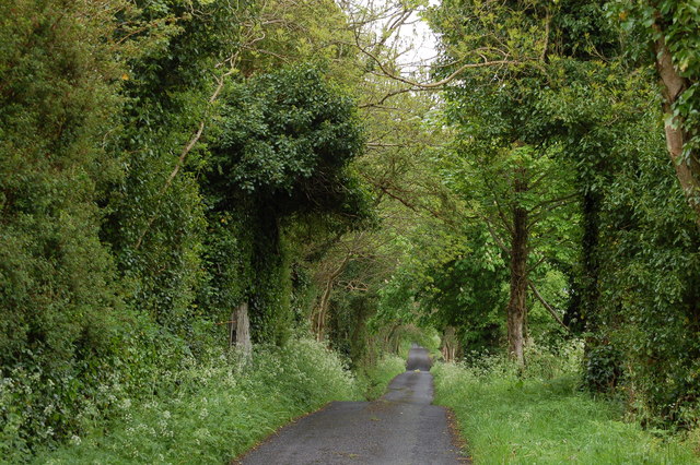 Enclosure in BallyhoneEnclosure · 429 yd
 Glebe Ho.Castle, unclassified · 782 yd
 St. Peters WellHoly well · 1428 yd
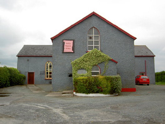 Halla Naomh Ailbhechurch/chapel · 1530 yd
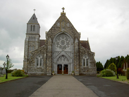 Saint Ailbe's Catholic Churchchurch/chapel · 1554 yd
 CastleCastle, motte · 1.3 mi
 Carn (site of)Cairn, burial cairn · 2.1 mi
 St Patrick's WellSpring · 2.5 mi
 Saint Patrick's WellSpring · 3.4 mi
 Flat cemetery in Knockainy WestFlat cemetery · 3.6 mi
 Kilteely HillMountain / peak · 4.3 mi
 Ballinvreena LoopVisitor information · 5.5 mi