What is recorded here
On a slight SW-facing slope in gently undulating improved pasture. Shown as a hachured roughly circular area on the 1906 edition of the OS 6-inch map but now consists of a roughly ovoid slightly raised area (dims. c. 14m N-S; c. 20m E-W) defined by a low flat-topped earthen bank (overall Wth 4m; Wth at top 1m; int. H 0.2m; ext. H 0.4m) with an external fosse (overall Wth 5m; D 0.2m). The bank and fosse enclose the ringfort SW-NW only. The bank is absent NE-SE and the edge of the platform is defined by an earthen scarp (H 0.4m). The bank has been removed and the edge of the monument straightened off NW-NE and SE-SW. A farmyard extends to the edge of the ringfort at S. The original entrance is not recognisable. The interior is level and densely overgrown with thorn bushes across the N half.
Compiled by: Jean Farrelly
Date of upload: 26 August 2011
This remains an important historical record, but the official description says the monument is no longer visible or has been destroyed. The monument record does not grant public access. Check the route and ask the landowner before entering private land.
- What survives
- No visible remains or recorded as destroyed
Places near here
 Enclosure in Barronstown (ormond), (shronell Par.)Enclosure · 472 yd
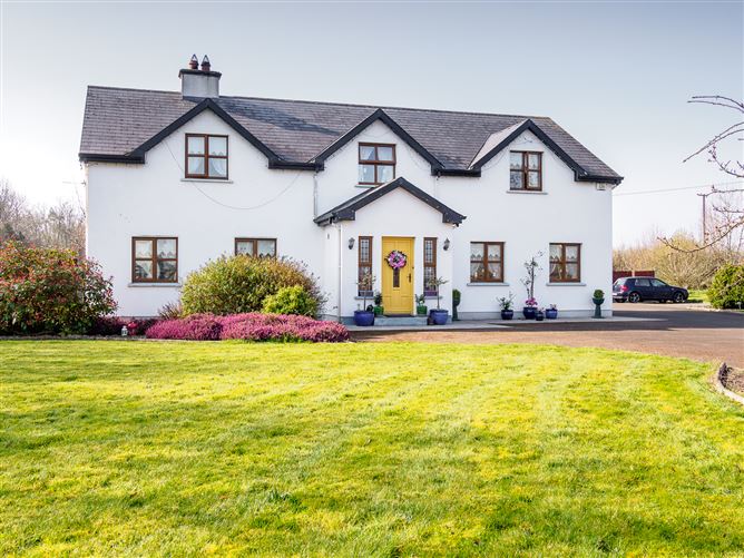 Enclosure in Barronstown (laffan),barronstown (ormond), (tipperary Par.)Enclosure · 865 yd
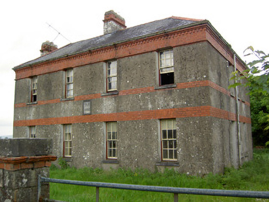 Victoria Houseoffice · 1137 yd
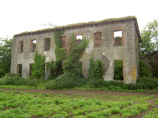 Roesborough Housecountry house · 1468 yd
 Site of CastleCastle, unclassified · 1.6 mi
 Mutton Pie HillCastle, motte · 1.9 mi
 The Maid of ErinMemorial · 2.3 mi
 Oola HillMountain / peak · 3.2 mi
 The RockViewpoint · 4.2 mi
 Bansha ForestForest · 4.2 mi
 SlievenamuckMountain / peak · 4.4 mi
 Glen of AherlowViewpoint · 4.5 mi