What is recorded here
Fairy fort in Barneygole, County Longford: a 35m earthen ring on a rise above low pasture, its shallow bank still marking the shape of a place people made and forgot. The eastern gap may be the entrance, and the missing ditch may be the part the land took back. Walk the circle once and it feels less like ruin than like a room waiting for someone to remember the door.
On a rise in low-lying pasture. A raised circular area (diam. c. 35m) enclosed by a partially denuded, low bank of earth and stone (Wth 2.8-3.2m; H 0.2-0.3m). A report in 1976 (SMR file) recorded the presence of an external fosse but no trace of it is visible. A break (Wth 4m) in the bank at ENE may mark the original entrance.
Compiled by: Patrick F. O'Donovan
Date of upload: 26 August 2011
The monument record does not grant public access. Check the route and ask the landowner before entering private land.
- What survives
- Recorded monument
Places near here
 Enclosure in KeelogesEnclosure · 1067 yd
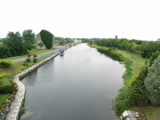 Enclosure in Ballindagny AND CullyvoreEnclosure · 1690 yd
 Abbey (in Ruins)Religious house, Franciscan Third Order Regular · 1.2 mi
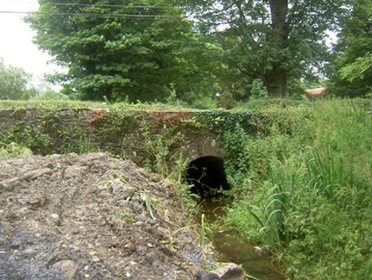 Holy Well Bridgebridge · 1.2 mi
 Ardagh DemesneFort · 1.6 mi
 Edgeworthstown BypassMemorial · 1.7 mi
 Oldtown CopseWood · 1.9 mi
 Oldtown DemesneForest · 2.0 mi
 MoatCastle, motte · 2.0 mi
 National Famine WayWalking route · 5.0 mi
 Graveyard in Curry (ardagh By., Coolamber Ed)Graveyard · 7.1 mi
 Granard MotteMotte-and-bailey castle remains · 8.8 mi