What is recorded here
Fairy fort / earthen ringfort in Barbavilla Demesne is a fairy fort or earthen ringfort in Barbavilla Demesne, County Westmeath, Ireland. The 20 April 2017 account describes a raised circular area with a north-south diameter of 27 metres and an east-west diameter of 29 metres, enclosed by a poorly preserved earthen bank. A 1.8 metre wide entrance gap is located at the south, while the interior rises slightly from the perimeter toward the centre. Post-1700 field fences intersect the monument at the southwest, northwest, and northeast, and a circular-shaped earthwork annotated Fort appears on an estate map of Barbavilla Demesne.
Situated on relatively low lying land surrounded by gently undulating grass-land. The monument is now located in a small tree plantation. Ringfort (WM008-056----) 280m to W. The townland boundary between with Robertstown is 10m to NE. A circular-shaped earthwork annotated 'Fort' is depicted on an estate map of Barbavilla Demesne (NLI, MS 21 F. 48 (009) ). A raised circular shaped area (diam. 27m N-S; 29m E-W) enclosed by a poorly preserved earthen bank. There is an entrance gap (Wth 1.8m) at S. The interior rises slightly from the perimeter towards the centre. Post-1700 field fences enclose the site, and intersect the monument at SW, NW & NE.
Compiled by: Frank Coyne and Caimin O'Brien
Date of upload: 20 April 2017
The monument record does not grant public access. Check the route and ask the landowner before entering private land.
- What survives
- Recorded monument
Places near here
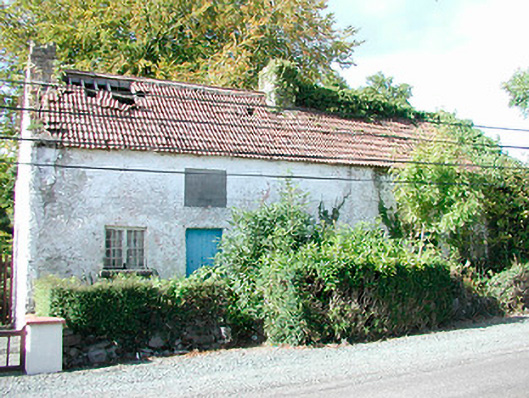 Prize Cottagesworker's house · 719 yd
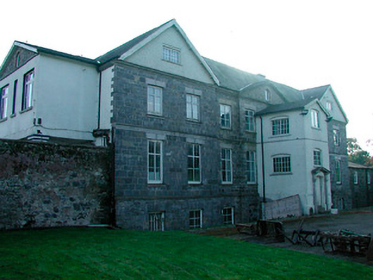 Barbavilla Housecountry house · 727 yd
 Hachured, FortfieldFairy fort / earthen ringfort · 1.2 mi
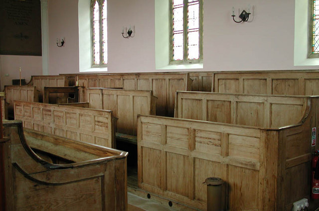 Ecclesiastical enclosure in KilcumnyEcclesiastical enclosure · 1.2 mi
 Castle IslandIslet · 1.6 mi
 CastleCastle, tower house · 2.1 mi
 The FurzeForest · 2.5 mi
 Christians Castle in ruinsCastle, unclassified · 2.8 mi
 South East GateHeritage attraction · 2.9 mi
 St Feichin's MillHeritage attraction · 3.1 mi
 Ben of ForeMountain / peak · 3.1 mi
 Noggin HillMountain / peak · 3.6 mi