What is recorded here
Forty metres of vanished wall still circle Banduff, hidden beneath pasture and memory. The fort gave up its northern ditch during a 1999 excavation, proving that the fairies never built it alone. Humans drew the line, lived inside it and let grass erase the result.
In pasture, on level patch of ground, above S-facing slope. Depicted on 1935 OS 6-inch map as hachured circular enclosure (diam. c. 40m). Levelled; no visible surface trace. Locally known as site of "fort".
Excavation in 1999 exposed the northern arc of the fosse of this rath and evidence of its levelled bank (Lane 2000, 22).
The above description is derived from the published 'Archaeological Inventory of County Cork. Volume 2: East and South Cork' (Dublin: Stationery Office, 1994). In certain instances the entries have been revised and updated in the light of recent research.
Date of upload/revision: 14 January 2009
The monument record does not grant public access. Check the route and ask the landowner before entering private land.
- What survives
- Recorded monument
Places near here
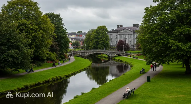 Tinker's Cross ParkMemorial · 342 yd
 Cork WalksVisitor information · 482 yd
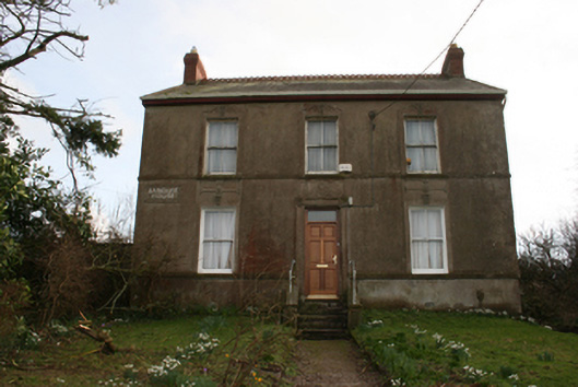 Banduff Househouse · 498 yd
 Church of Our Lady Crowned Roman Catholic Churchchurch/chapel · 759 yd
 IndicatedFairy fort / earthen ringfort · 1137 yd
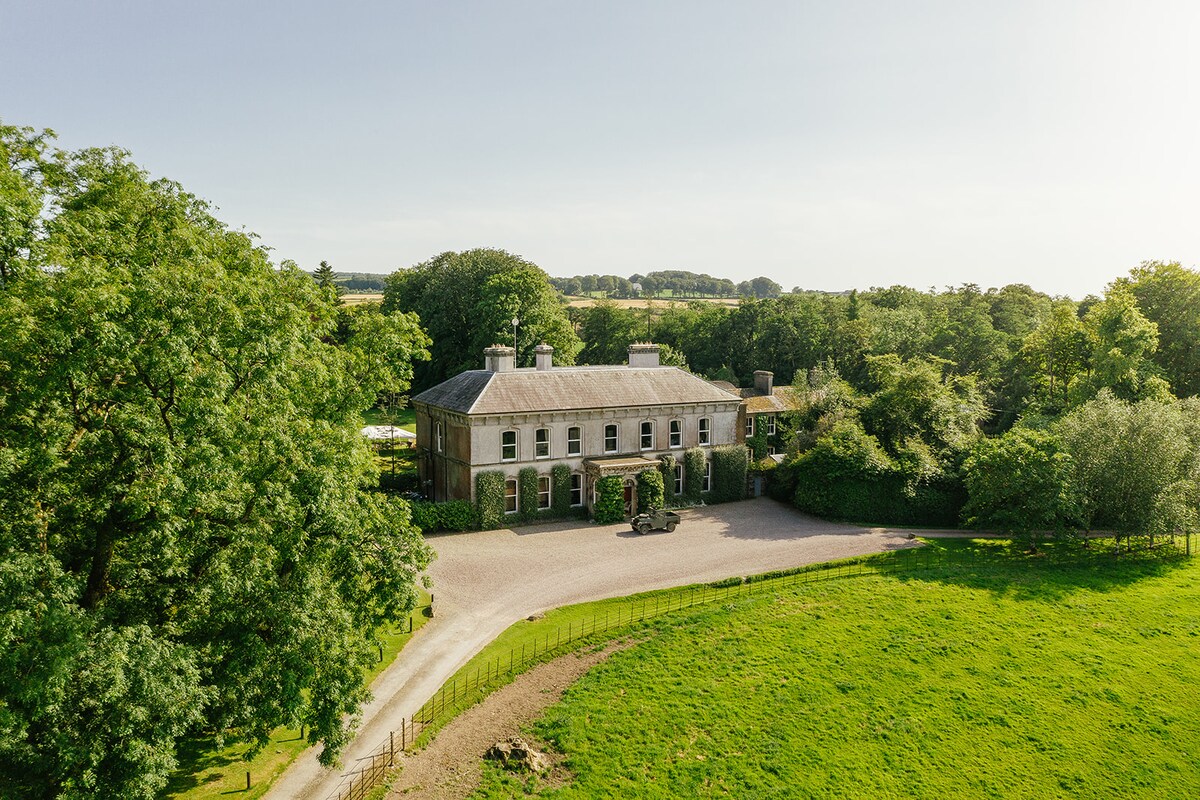 Burnt mound in Ballyvolane (cork By.)Burnt mound · 1419 yd
 Glanmire Heritage SocietyMemorial · 1444 yd
 Tourist OfficeVisitor information · 2.1 mi
 Mount Hillary - Knightfield LoopWalking route · 23 mi
 St Fursey's WellSpring · 24 mi
 European YewEuropean Yew · 25 mi
 Burial ground in AssolasBurial ground · 25 mi