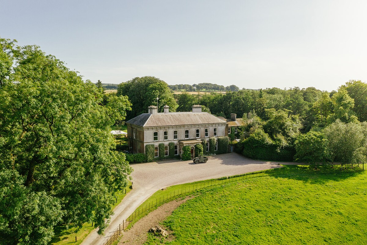
What is recorded here
In tillage, on a S-facing slope. An oval spread (c. 22m N-S; c. 18m E-W) of heat-shattered stones and charcoal-enriched soil. Another possible burnt mound (CO074-132----) lies c. 160m to the NE.
The above description is derived from 'The Archaeological Inventory of County Cork. Volume 5' (Dublin: Stationery Office, 2009).
Date of upload: 22 December 2009
A burnt mound; likely Bronze Age. Associated features suggest ritual or industrial activity, common in Irish prehistoric contexts.
The monument record does not grant public access. Check the route and ask the landowner before entering private land.
- What survives
- Recorded monument
Places near here
 Irish RevolutionariesMemorial · 596 yd
 St Oliver's Roman Catholic Churchchurch/chapel · 750 yd
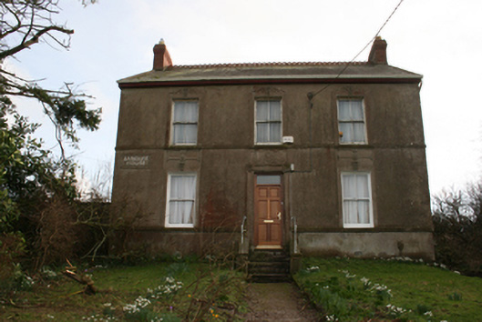 Banduff Househouse · 922 yd
 Delaney Brothers MonumentMemorial · 1275 yd
 Dublin HillViewpoint · 1357 yd
 Man-made underground passage in Ballincrokig (cork By., St. Anne’s Shandon Par.)Man-made underground passage · 1400 yd
 Murphy's RockViewpoint · 1.0 mi
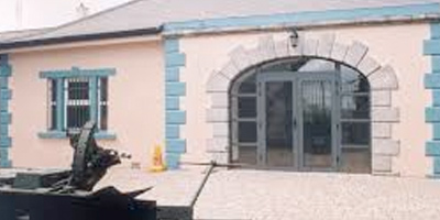 Collins Barracks Military MuseumMuseum · 1.1 mi
 Ladys WellHoly well · 1.5 mi
 Mashanaglass Castle (in Ruins)Castle, tower house · 20 mi
 Summerhouse WoodForest · 21 mi
 Seefin East TopMountain / peak · 21 mi
Other information
Photo: Credit not shown in the picture search · Rights wording not checked; contact us if this picture should be removed