What is recorded here
Fairy names often disguise ordinary human ingenuity, yet this ringfort in Balsitric keeps a genuinely mysterious edge. It sits atop a drumlin in County Meath, a circular grass platform roughly thirty-four metres across that has resisted ploughing while cereals swirl around it. The scarps rise as much as one and a half metres, but the absence of a ditch and the shallow southeast dip leave the purpose partly imagined. Perhaps people shaped the land for defense, ceremony or simply visibility; the earth has kept the shape long after the reasons faded.
Visible as a circular feature on the aerial images of OSI (1995, 2000, 2005), Google Earth (2010) and Bing (2013). It is situated on top of a drumlin in a gently undulating landscape. This is a circular grass-covered area (diam. of top 34m N-S; 33m E-W; diam. of base 46.5m N-S; 45.2m E-W) that remains untilled in a field of cereals. It is defined by scarps (H 0.8m at W to 1.4-1.6m generally), but there is no evidence of a fosse. The interior is level but slopes down to the E and S (H c. 1.8m) and a slight dip (L c. 3m) in the perimeter at SE suggests that there may have been an entrance here, although as the lowest point of the platform it may have been created by vehicles.
Compiled by: Michael Moore
Date of revised upload: 25 May, 2016
The monument record does not grant public access. Check the route and ask the landowner before entering private land.
- What survives
- Recorded monument
Places near here
 CrossCross, High cross · 313 yd
 CastleCastle, motte · 1214 yd
 Loughbrackan FortCastle, motte and bailey · 1431 yd
 Font in LoughbrackanFont · 1545 yd
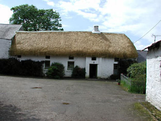 Yellowfordbridge Corn Millmiller's house · 1.0 mi
 Yellow Ford Bridgebridge · 1.1 mi
 Ugly HillMountain / peak · 1.7 mi
 Drumran HillMountain / peak · 1.8 mi
 Nobber GreenwayMemorial · 2.7 mi
 Headstown ForestForest · 2.8 mi
 Common LimeCommon Lime · 3.4 mi
 Graveyard in Richardstown (ardee By., Richardstown Par.)Graveyard · 9.4 mi