What is recorded here
Fairy fort in Ballywilliam South is a ruined earthen ring on a ridge, partly buried under later field walls. Cattle have worn a gap in what remains, and grass has taken the rest. It is not a palace or a miracle, but a boundary made by people and then forgotten by them.
In pasture, atop ridge. Monument, depicted as embanked circular enclosure (diam. c. 30m) on 1841 OS 6-inch map, has been modified by construction of field boundaries atop its enclosing element to form small sub-square field (L c. 30m). Eastern arc of enclosing element is truncated by N-S dry-stone field wall, but original enclosing element survives NNE->NE and SE->SSE as earthen bank (int. H 0.25m; ext. H 0.9m). Gap in bank at SE (Wth c. 2m) has been worn down by cattle accessing interior. A field boundary, which replaces/incorporates this bank SSE->NNE, is masked by dense overgrowth. Level interior under rough pasture. Field boundary abuts enclosing element at WSW.
Compiled by: Denis Power
Date of upload: 26 August 2011
The monument record does not grant public access. Check the route and ask the landowner before entering private land.
- What survives
- Recorded monument
Places near here
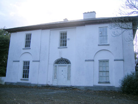 The Rectoryrectory/glebe/vicarage/curate's house · 735 yd
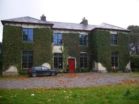 Beechmount Housecountry house · 883 yd
 Enclosure in Ballywilliam SouthEnclosure · 1062 yd
 Holy well in BallymacaveHoly well · 1561 yd
 Bawn in Amogan MoreBawn · 1.2 mi
 Glebe CastleCastle · 1.3 mi
 Flat cemetery in CroaghFlat cemetery · 2.4 mi
 TobernablahySpring · 2.6 mi
 European ashEuropean ash · 2.7 mi
 Flat cemetery in Kiltenan SouthFlat cemetery · 3.6 mi
 St. Kieran's WellSpring · 3.7 mi
 KnockfeerinaMountain / peak · 5.4 mi