What is recorded here
Fairy fort in Ballywilliam South is an earthen ringfort: a 30 m circular area on a south-facing slope, enclosed by a bank and partly cut by a shallow external fosse. Its southeast gap aligns with a wider causeway, suggesting entry rather than accident. Nettles and pasture have softened the works, but the bank still stands tallest along the south arc, as if the hill itself kept the shape when people stopped naming it.
In pasture, on S-facing slope immediately below brow of hill. Circular area (diam. c. 30m) enclosed by earthen bank, with external fosse (D 0.1m; Wth 1.8m) NNE->ESE and SSW->WNW; fosse covered by nettles. Bank (int. H 0.35m; ext. H 1.2m), heavily masked by overgrowth, is best preserved along S arc. Break in bank (Wth 1.8m) matched by causeway (Wth 5.7m) at SE. Interior, covered with nettles, slopes down gently to S.
Compiled by: Denis Power
Date of upload: 26 August 2011
The monument record does not grant public access. Check the route and ask the landowner before entering private land.
- What survives
- Recorded monument
Places near here
 Enclosure in Ballywilliam SouthEnclosure · 1101 yd
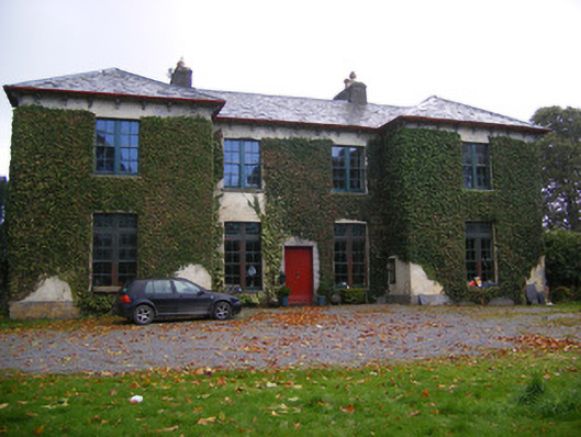 Beechmount Housecountry house · 1142 yd
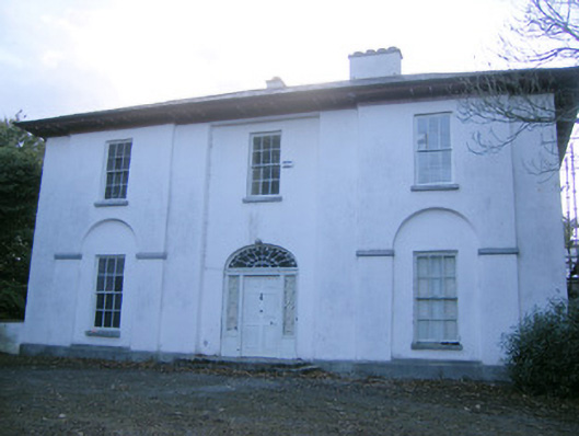 The Rectoryrectory/glebe/vicarage/curate's house · 1214 yd
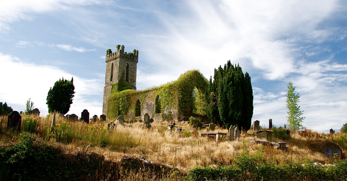 Grave YardGraveyard · 1643 yd
 Glebe CastleCastle · 1.1 mi
 Castle MatrixCastle, tower house · 1.4 mi
 TobernablahySpring · 2.4 mi
 European ashEuropean ash · 2.4 mi
 Flat cemetery in CroaghFlat cemetery · 2.6 mi
 St. Kieran's WellSpring · 3.5 mi
 Flat cemetery in Kiltenan SouthFlat cemetery · 3.9 mi
 KnockfeerinaMountain / peak · 5.6 mi