What is recorded here
Fairy fort / earthen ringfort in Ballywilliam South was already a marked circular enclosure when the 1841 survey showed it, yet ploughs and boundary work have reduced much of that shape to a low earthen bank, a shallow ditch and a semicircular scarped annex reaching into marshy ground. What remains is not grand, but exact enough to imagine: a home, trap, meeting place or child's climbing ring set among limestone and pasture. The lost part may have been forgotten gradually, one furrow at a time, until only the end marked by a boulder and a gap wide enough for a cart still gave the circle away.
In pasture, on gentle SE-facing slope, in area of outcropping limestone. Monument, depicted as embanked circular enclosure (diam. c. 40m) on 1841 OS 6-inch map, has been partially levelled. Surviving section of enclosing element is earthen bank (int. H 0.4m; ext. H 0.9m) SW->NE, with external fosse (Wth 2m; D 0.2m) SW->W. Bank, best preserved W->NNE, becomes quite linear SW->W. Bank is truncated by field boundary at SW end; a limestone boulder marks other end at NE. Gap in bank (Wth 4m) at NNW. Interior, under pasture, slopes down gently to SE. Semicircular annex (30m N-S; 19m E-W), defined by scarped edge (H 0.25m; Wth 1m) extends to E into marshy area.
Compiled by: Denis Power
Date of upload: 26 August 2011
The monument record does not grant public access. Check the route and ask the landowner before entering private land.
- What survives
- Recorded monument
Places near here
 Enclosure in Ballywilliam SouthEnclosure · 552 yd
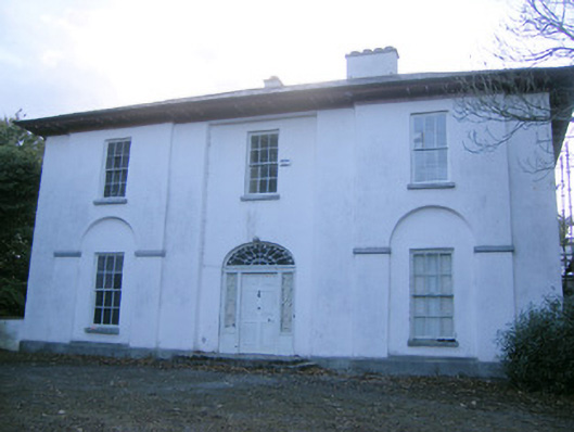 The Rectoryrectory/glebe/vicarage/curate's house · 842 yd
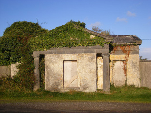 Ballywilliamgate lodge · 968 yd
 Holy well in BallymacaveHoly well · 1269 yd
 Bawn in Amogan MoreBawn · 1.1 mi
 Glebe CastleCastle · 1.6 mi
 Flat cemetery in CroaghFlat cemetery · 2.5 mi
 European ashEuropean ash · 2.6 mi
 TobernablahySpring · 2.8 mi
 Flat cemetery in Kiltenan SouthFlat cemetery · 3.4 mi
 LaghtpatrickSpring · 3.5 mi
 KnockfeerinaMountain / peak · 5.1 mi