What is recorded here
Fairy fort in Ballyreaghan, County Longford: a broad shallow ring on a low pasture rise, with an inner bank, faint ditch, outer bank and outer ditch, its entrance lost. People may have lived, herded or marked territory there before the field boundary cut across it. The name suggests later belief in hidden residents, but the earth still shows a made place, not a random bump.
On a low rise in undulating pasture. A raised subcircular area (c. 45m N-S; 40m E-W) enclosed by a low bank of earth and stone (Wth 5.3-5.6m; H 0.3-0.65m) at NW, from ENE-E and at S, and elsewhere defined by a scarp (H 0.8-1.3m). A very shallow intervening fosse (Wth 4.8-5.4m; D 0.2m) is visible from WNW-N-NE and from E-ESE-SE. An outer bank (Wth 5-5.2m; H 1.2m) and outer fosse (Wth c. 2m; D 0.2-0.4m) survive from WNW-N-NE. The original entrance is not recognisable. A modern field boundary cuts the monument at W and N.
Compiled by: Patrick F. O'Donovan
Date of upload: 26 August 2011
The monument record does not grant public access. Check the route and ask the landowner before entering private land.
- What survives
- Recorded monument
Places near here
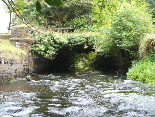 Kilshruley Manorbridge · 297 yd
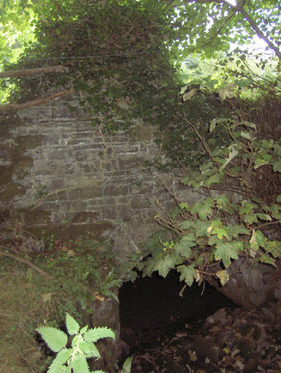 bridgebridge · 491 yd
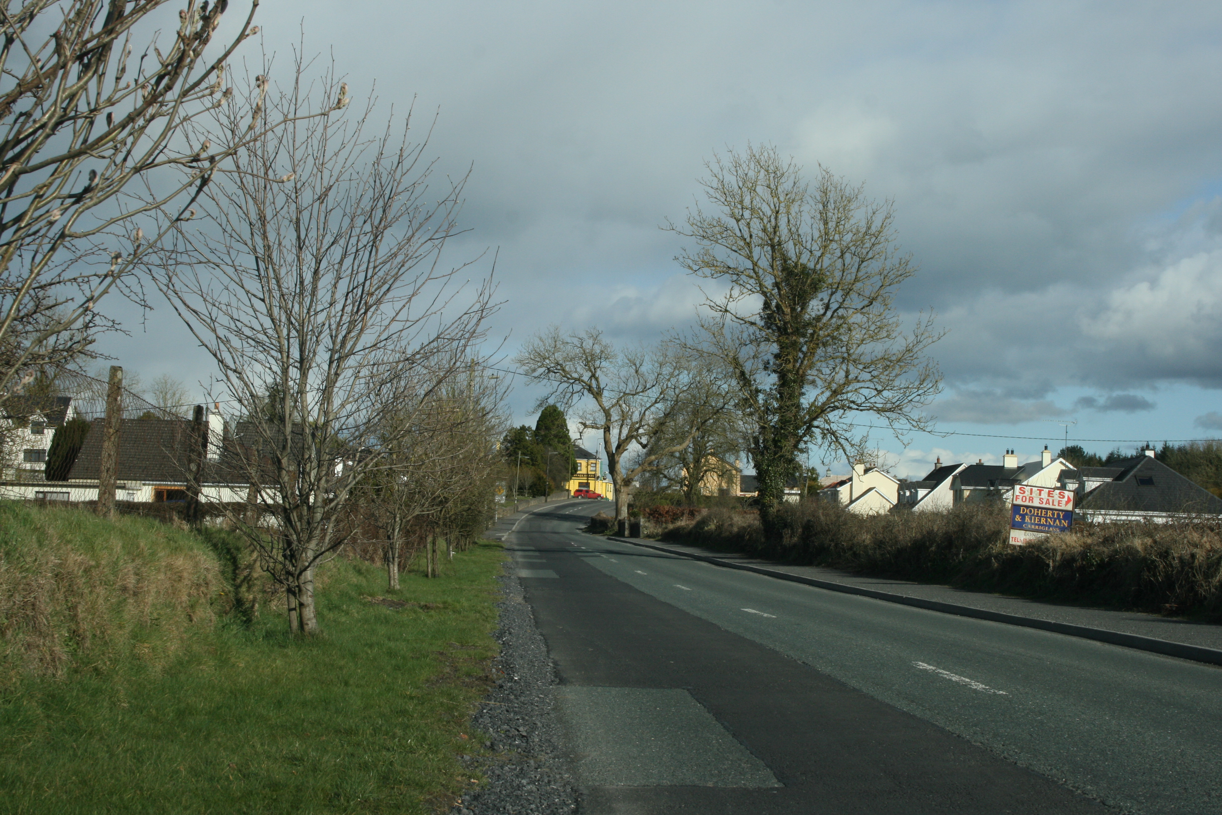 IndicatedFairy fort / earthen ringfort · 917 yd
 Enclosure in DrumnaharaEnclosure · 1234 yd
 Ballinalee Forest WalkForest · 1.1 mi
 Bully's Acregraveyard/cemetery, unknown · 1.2 mi
 Cloonfin WoodForest · 1.4 mi
 Bawn in CurrycahillBawn · 1.4 mi
 Clonfin Ambush MemorialMemorial · 2.0 mi
 BawnBawn · 2.4 mi
 InchmoreIslet · 4.2 mi
 Granard MotteMotte-and-bailey castle remains · 5.2 mi