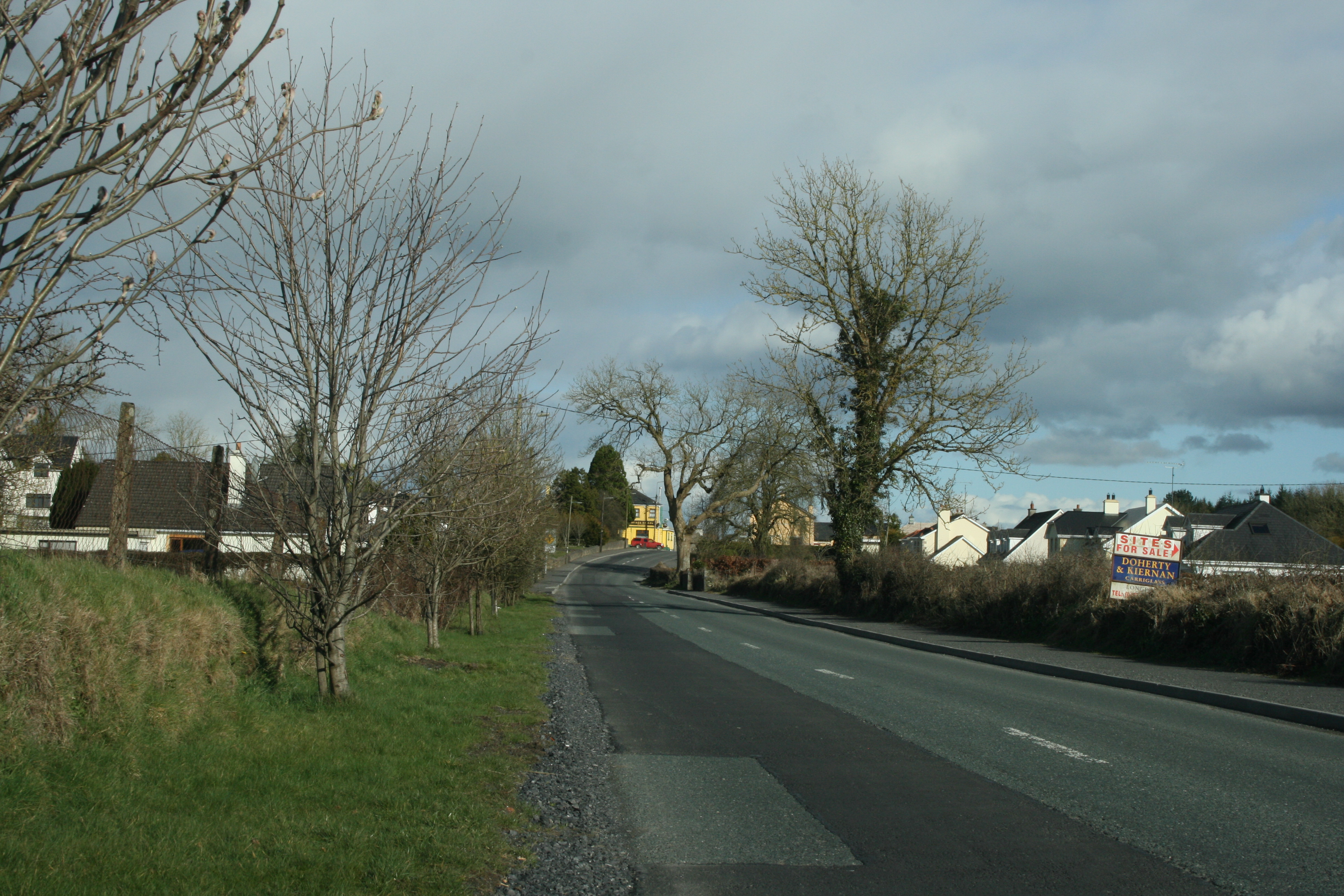
What is recorded here
On a level shelf of ground on a S-facing slope. Depicted as a roughly oval enclosure with the designation ‘Fort’ on the 1837 edition of the OS 6-inch map. A report in 1986 (SMR file) recorded a much-disturbed, almost circular area (c. 23m NW–SE; c. 22m NE–SW) enclosed by a very slight bank from S-W-WNW with a shallow external fosse. A field bank ran across the perimeter from WNW-N, and a laneway and old farm building encroached upon it at E and SE. The original entrance was not recognisable. The monument is not visible at ground level.
Compiled by: Patrick F. O'Donovan
Date of upload: 28 January 2012
The monument record does not grant public access. Check the route and ask the landowner before entering private land.
- What survives
- Recorded monument
Places near here
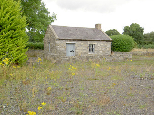 MacEoin's Forgeforge/smithy · 383 yd
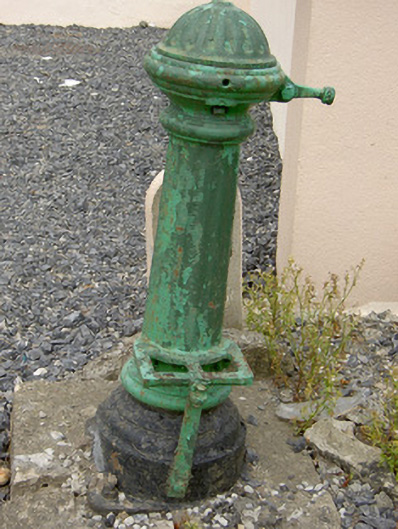 water pumpwater pump · 501 yd
 Ballinalee Forest WalkForest · 1111 yd
 Bully's Acregraveyard/cemetery, unknown · 1243 yd
 Enclosure in DrumnaharaEnclosure · 1258 yd
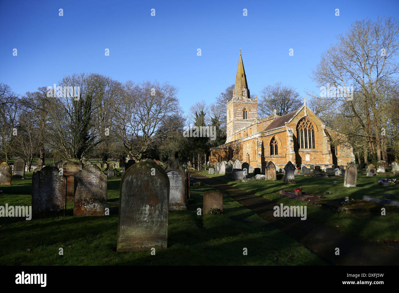 Grave YardBurial ground · 1261 yd
 Bawn in CurrycahillBawn · 1669 yd
 Cloonfin WoodForest · 1.9 mi
 Clonfin Ambush MemorialMemorial · 2.5 mi
 BawnBawn · 2.8 mi
 InchmoreIslet · 4.4 mi
 Granard MotteMotte-and-bailey castle remains · 5.7 mi
Other information
Photo: Credit not shown in the picture search · Rights wording not checked; contact us if this picture should be removed