What is recorded here
Monument surveyed by ASI in 1977 and described as following; 'The site is densely overgrown with trees and thorn bushes and is difficult to examine. The site is a broad oval enclosure bounded by a low broad bank of earth and stone. There seems to be a narrow fosse outside the bank on the N but this is absent elsewhere. A modern laneway runs E-W past the site to the S and there is a drystone wall revetted scarp against the outside of the site on that side. There is no sign of an original entrance. The interior is densely overgrown but seems to be fairly even except for a small low mound to the NW of centre. The interior seems to rise gently towards the centre from the N and S. No features are visible. A modern field wall runs N-S past the site on the E and NE. The site occupies the top of a small hill in undulating pasture land. There are good views in all directions and the view to the W and SW is extensive' (SMR File 19/08/1977).
Compiled by: Caimin O'Brien
Date of upload: 17 February 2013
The monument record does not grant public access. Check the route and ask the landowner before entering private land.
- What survives
- Recorded monument
Places near here
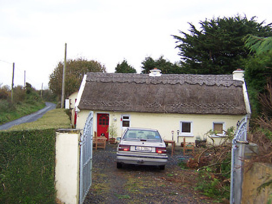 The Thatchhouse · 274 yd
 Partially hachuredEnclosure · 692 yd
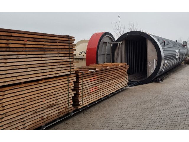 KilnKiln, corn-drying · 789 yd
 CastleCastle, motte · 949 yd
 Rathnagalliagh FortFairy fort / earthen ringfort · 1205 yd
 Killalea FortCastle, motte · 1690 yd
 Sam's ParkForest · 4.2 mi
 Kilmalady HillMountain / peak · 4.7 mi
 KnockastiaMountain / peak · 5.0 mi
 Ardan WoodWood · 5.6 mi
 Clara Bog BoardwalkHeritage attraction · 8.5 mi
 Charles BianconiMemorial · 8.8 mi