What is recorded here
Fairy forts and earthen ringforts in Ballynaboley (gowran By.) show that people shaped the land long before modern boundaries. The circular bank and shallow ditch mark a deliberate boundary, perhaps for a home, a stronghold or a place of gathering. Cattle have worn the interior uneven, but the stone-heavy ridge still traces the old line across the pasture.
On a gentle W-facing slope in rolling pasture with good views from ESE-S-W, but elsewhere limited by rising ground. A circular area (int. diam. 21.7m NE-SW) enclosed by a denuded earthen and stone bank (int. H 1.3m; ext. H 1.5m; overall Wth 7.5m) and a shallow fosse (Wth c. 2.7m), the latter only visible from S-SSW and otherwise infilled. The bank is best preserved from SSE-S-N, elsewhere it is much reduced (H 0.4m). It has been broken through in the SSE sector. The high content of large stones in the bank composition reflects the underlying outcrop which is characteristic of this area. There is an entrance (Wth 2.6m) in the NW sector. The grass-covered interior is uneven having been poached by cattle.
Compiled by: Jean Farrelly
Date of upload: 28 September 2021
The monument record does not grant public access. Check the route and ask the landowner before entering private land.
- What survives
- Recorded monument
Places near here
 The ClahounForest · 200 yd
 The OrchardForest · 319 yd
 Ballynaboley Church (in ruins)Church · 370 yd
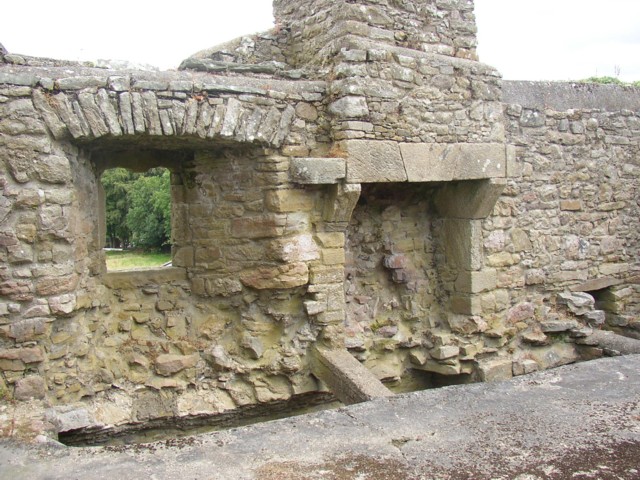
 Ballynaboley Castle (in ruins)Castle, tower house · 484 yd
 Enclosure in Ballynaboley (gowran By.)Enclosure · 869 yd
 IndicatedEnclosure · 908 yd
 Church in Cloghala (gowran By., Bennettsbridge Ed),dungarvan (gowran By., Bennettsbridge Ed),scart (gowran By., Bramblestown Ed)Church · 966 yd
 Tullaherin Church and Round TowerVisitor information · 1.4 mi
 CastleCastle, motte · 1.4 mi
 Kilbline GraveyardArchaeological place · 2.1 mi
 Time CapsuleMemorial · 2.4 mi
 St. Mogarra’s WellSpring · 5.2 mi