What is recorded here
Fairy fort in Ballymacroly, County Longford, is a 40.5-metre earthen ring on a terrace above a stream. Its low bank, shallow fosse and outer ridge still mark the southern and eastern edge, while ploughing has softened the rest. The entrance faced east, suggesting a place made for entry, not hiding. It may have been a farmstead, a refuge or a boundary marker, but the earth has kept its shape long after the hands that shaped it disappeared.
On a terrace above a stream to its N and E. A raised subcircular area (40.5m E–W; 37.7m N–S) enclosed from SE–S–N by a low bank of earth and stone (Wth 4.8-5.8m; H 0.3-0.5m) and elsewhere defined by a scarp (H 1.8-2m). A shallow intervening fosse (Wth 6.3-7.4m; D 0.7-0.8m) and an outer bank (Wth 5.4-5.8m; H 1-1.4m) survive from ESE–S–NW. Elsewhere they have been levelled but the outline of the fosse may still be traced. A report in 1975 (SMR file) recorded that the original entrance was at E.
Compiled by: Patrick F. O'Donovan
Date of upload: 23 November 2011
The monument record does not grant public access. Check the route and ask the landowner before entering private land.
- What survives
- Recorded monument
Places near here
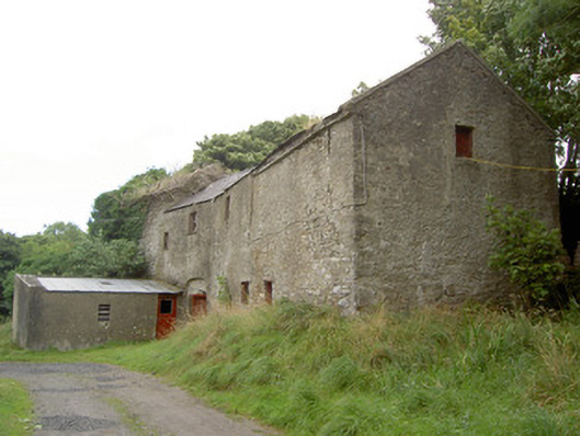 Millbrookmill (water) · 396 yd
 BarrowBarrow, pond barrow · 419 yd
 Church in GranardkillChurch · 1094 yd
 Site of Old Town of GranardSettlement deserted, medieval · 1235 yd
 Moat of GranardCastle, motte and bailey · 1.3 mi
 CastleCastle, unclassified · 1.3 mi
 Granard MotteMotte-and-bailey castle remains · 1.3 mi
 1798 Monumentmonument · 1.4 mi
 Clonfin Ambush MemorialMemorial · 2.3 mi
 Cloonfin WoodForest · 2.8 mi
 Derrycassan WoodsWood · 4.1 mi
 InchmoreIslet · 4.1 mi