
What is recorded here
On a low hillock in undulating pasture with good views in all directions. Depicted as ‘Mass Fort’ on the townland map of Ballybrien surveyed c. 1789 (NLI, MS 21 F. 40 (24)). A circular, concave depression (diam. 38.5m) is enclosed by a wide, flat-topped, tree-lined bank of earth and stone (base Wth 9.5–14m; top Wth 3m; int. H 2–3m; ext. H 1–1.5m) with traces of a shallow, external fosse. The outer face of the bank was faced with drystone masonry possibly in the 18th or 19th century. The monument was used as a penal mass site (O’Donovan 2003, 17). See also (LF011-008----), which has similar morphological features.
Compiled by: Patrick F. O'Donovan, Caimin O'Brien
Date of upload: 26 November 2012
Pond barrow, likely dating to the Early Bronze Age. Its form and location suggest a funerary or ceremonial function, typical of ritual landscapes in Atlantic Europe.
The monument record does not grant public access. Check the route and ask the landowner before entering private land.
- What survives
- Recorded monument
Places near here
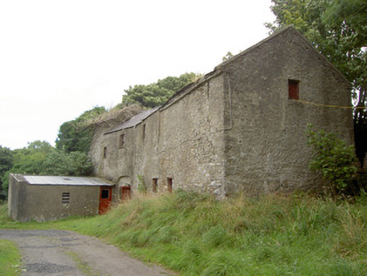 Millbrookmill (water) · 502 yd
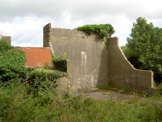 handball alleyhandball alley · 975 yd
 Site of Old Town of GranardSettlement deserted, medieval · 1379 yd
 Lismacaffry FortFairy fort / earthen ringfort · 1.0 mi
 Moat of GranardCastle, motte and bailey · 1.4 mi
 CastleCastle, unclassified · 1.4 mi
 Granard MotteMotte-and-bailey castle remains · 1.4 mi
 1798 Monumentmonument · 1.5 mi
 Clonfin Ambush MemorialMemorial · 2.2 mi
 Cloonfin WoodForest · 2.6 mi
 InchmoreIslet · 3.9 mi
 Derrycassan WoodsWood · 3.9 mi
Other information
Photo: Credit not shown in the picture search · Rights wording not checked; contact us if this picture should be removed