What is recorded here
Fairy fort / earthen ringfort in Ballykilmurry (decies Without Drum By.), Cutteen South is a fairy fort or earthen ringfort in Ballykilmurry (decies Without Drum By.), Cutteen South, County Waterford, Ireland. The 1999 inventory recorded a circular area about 45 metres across towards the top of a southeast-facing slope. A complete earth and stone bank, 4 to 5.5 metres wide, enclosed the site and formed the townland boundary running northwest to southeast. A probably original ramp entrance 2.1 metres wide opened at the southeast, while an outer flat-bottomed fosse and external bank were replaced by a laneway from southeast to west.
Situated towards the top of a SE-facing slope. Overgrown circular area (diam. c. 45m) defined by a complete earth and stone bank (Wth 4-5.5m; int. H 0.6m at SE (downslope) to 1.3m at W; ext. H 1.2m at W to 2.5m at SE), which forms the townland boudnary with Ballykilmurry NW-SE. An outer flat-bottomed fosse (Wth of top 5.3-6.7m; Wth of base 2-3m; ext. D 1-1.6m) and external bank (Wth 2-3m; ext. H 0.4-1m) are replaced SE-W by a laneway. A ramp entrance (Wth 2.1m) at SE is probably original.
The above description is derived from the published 'Archaeological Inventory of County Waterford' (Dublin: Stationery Office, 1999). In certain instances the entries have been revised and updated in the light of recent research.
Compiled by: Michael Moore
Date of upload/revision: 18 November 2010
The monument record does not grant public access. Check the route and ask the landowner before entering private land.
- What survives
- Recorded monument
Places near here
 IndicatedFairy fort / earthen ringfort · 220 yd
 Church (in ruins)Church · 884 yd
 RoadRoad, hollow-way · 911 yd
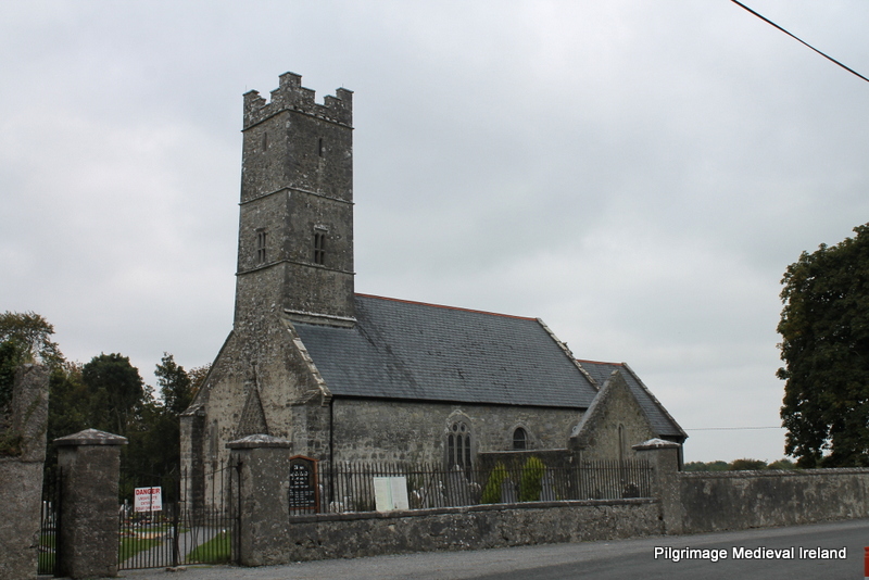 Holy well in KilrossantyHoly well · 950 yd
 Bawn in BarnankileBawn · 1.5 mi
 Coumaraglin MountainMountain / peak · 1.8 mi
 Site of CastleCastle, unclassified · 1.8 mi
 Magic Road (finish)Heritage attraction · 2.0 mi
 Magic Road (start)Heritage attraction · 2.0 mi
 Crough WoodWood · 2.0 mi
 SeefinMountain / peak · 2.9 mi
 Mahon ValleyCliff · 2.9 mi