
What is recorded here
Situated towards the top of an E-facing slope. Subcircular grass-covered area (dims. 48m N-S; 42m E-W) defined by an overgrown earth and stone bank (Wth 1.5-3m; int. H 1-1.5m; ext. H 1-1.6m) with internal and external stone-facing. This perimeter forms the townland boudnary with Cutteen South SE-W. An entrance (Wth 2m) at W might not be original, and Mongey (1933, 248) described the entrance at the E. There is no visible fosse. The Man-made underground passage (WA014-024002-) in the interior is now closed. Three cairns (WA014-024003-, WA014-024004- and WA014-024005-) in the interior are clearance cairns, and two features (WA014-024006- and WA014-024007-) which were once outside the perimeter at E, one circular, the other rectangular, may have been hut-sites (ibid. 248), but do not survive.
Mongey, L. (1933) Ringfort and Man-made underground passage at Ballykilmurry, Parish of Kilrossanty, Co. Waterford. JRSAI 63, 248-50.
The above description is derived from the published 'Archaeological Inventory of County Waterford' (Dublin: Stationery Office, 1999). In certain instances the entries have been revised and updated in the light of recent research.
Compiled by: Michael Moore
Date of upload/revision: 18 November 2010
The monument record does not grant public access. Check the route and ask the landowner before entering private land.
- What survives
- Recorded monument
Places near here
 Enclosure in KnockanacullinEnclosure · 1098 yd
 Church (in ruins)Church · 1099 yd
 RoadRoad, hollow-way · 1128 yd
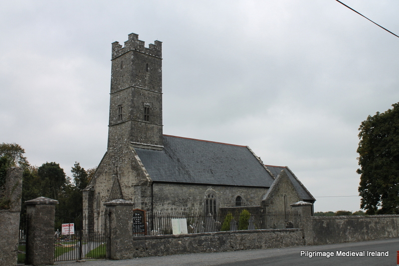 Holy well in KilrossantyHoly well · 1166 yd
 Bawn in BarnankileBawn · 1.6 mi
 Coumaraglin MountainMountain / peak · 1.8 mi
 Site of CastleCastle, unclassified · 1.8 mi
 Magic Road (finish)Heritage attraction · 1.9 mi
 Magic Road (start)Heritage attraction · 1.9 mi
 Crough WoodWood · 2.0 mi
 SeefinMountain / peak · 2.7 mi
 Mahon ValleyCliff · 2.8 mi
Other information
Photo: Credit not shown in the picture search · Rights wording not checked; contact us if this picture should be removed