What is recorded here
Ballyhomin held a thirty-metre embanked ring on a gentle south-west slope, visible on the 1841 map but now absent from the pasture. The earth that once kept rain, wind and perhaps people has been levelled into ordinary grass. What remains is a circular memory in a field that no longer remembers it.
In pasture, on gentle SW-facing slope. Monument, depicted on 1841 OS 6-inch map (1841) as embanked circular enclosure (diam. c. 30m), has been levelled. No trace of monument evident when inspected.
Compiled by: Denis Power
Date of upload: 26 August 2011
The monument record does not grant public access. Check the route and ask the landowner before entering private land.
- What survives
- Recorded monument
Places near here
 Sunday WellsHoly well · 1038 yd
 Ballindeel Houserectory/glebe/vicarage/curate's house · 1047 yd
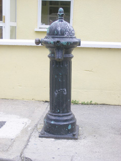 water pumpwater pump · 1157 yd
 IndicatedEnclosure · 1272 yd
 Askeaton CastleHeritage attraction · 1650 yd
 Tomdeely CastleCastle · 2.1 mi
 Ballynash CastleCastle, unclassified · 2.1 mi
 Holly IslandIslet · 2.5 mi
 Greenish IslandIslet · 2.9 mi
 Courtbrown PointHeadland · 3.0 mi
 Curraghchase Forest ParkForest · 3.3 mi
 European YewEuropean Yew · 3.4 mi