What is recorded here
In pasture, on gentle E-facing slope. Two wells are depicted on 1923 OS 6-inch map bordering pond area on E side. Enlarged pond survives, swelled by recent heavy rain. No visible surface trace of either well. Ó Danachair (1955, 203) describes each as 'walled with dry stone circular walls, about nine feet in diam. and four feet deep. Stonework now falling in.' Rounds were made before sunrise on Sundays but ceased in late 19th century; there were whitethorn trees at wells on which rags were hung (ibid.). See attached photos taken in 1954 by Caoimhín Ó Danachair, courtesy of and © National Folklore Collection, UCD. The Photographic Collection, F025.21.00157 accessible online at www.duchas.ie/en/cbeg/31155; F025.21.00155 accessible online at www.duchas.ie/en/cbeg/31153 and F025.21.00154 accessible online at www.duchas.ie/en/cbeg/31152.
In pasture, on gentle E-facing slope. Two wells are depicted on 1923 OS 6-inch map bordering pond area on E side. Enlarged pond survives, swelled by recent heavy rain. No visible surface trace of either well. Ó Danachair (1955, 203) describes each as 'walled with dry stone circular walls, about nine feet in diam. and four feet deep. Stonework now falling in.' Rounds were made before sunrise on Sundays but ceased…
From the National Monuments Service (Archaeological Survey of Ireland) record LI011-039
The monument record does not grant public access. Check the route and ask the landowner before entering private land.
- What survives
- Recorded monument
Places near here
Photo credits
- National Inventory of Architectural Heritage
- Wikimedia Commons contributor · Public domain
- Robin Moody, Geograph · CC BY-SA 2.0
- Peter Gerken, Wikimedia Commons · CC BY-SA 2.0
- Sitomon, Wikimedia Commons · CC BY-SA 2.0
- Mike Searle, Wikimedia Commons · CC BY-SA 2.0
- Miguel Angel Masegosa Martínez, Wikimedia Commons · CC BY 2.0
 Ballindeel HouseRectory/glebe/vicarage/curate's house · 1656 yd
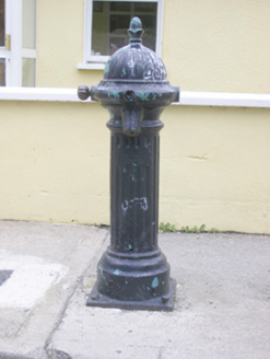 water pump1695 ydEnclosure in Ballyengland LowerEnclosure · 1.0 miTombTomb, unclassified · 1.1 mi
 Askeaton CastleHeritage attraction · 1.2 miHolly IslandIslet · 2.2 miGreenish IslandIslet · 2.5 mi
 Beagh Castle (in ruins)Castle, tower house · 3.3 mi
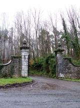 Curraghchase Forest ParkForest · 3.5 mi
 European Yew3.6 mi
_-_geograph.org.uk_-_6276707.jpg/250px-Castles_of_Munster,_Dysert,_Limerick_(1)_-_geograph.org.uk_-_6276707.jpg "Photo: Mike Searle, Wikimedia Commons · CC BY-SA 2.0") Dysert CastleCastle · 4.3 mi
Dysert CastleCastle · 4.3 mi Sweet Chestnut5.1 mi
More archaeology and monuments in County Limerick · All of County Limerick
What do you know about this place?