What is recorded here
Ballygroman Lower once held a solid ringfort wide enough to swallow a house, but ploughs and time erased the rampart. The name still claims fairy ownership, as if the earth itself refused human rule. What remains is a flat pasture and a deleted circle, the kind of loss that makes you wonder whether the fort vanished or simply stopped being seen.
In pasture. Depicted as hachured, roughly circular raised area and circular raised area (diam. c. 40m) on 1842 and 1904 OS 6-inch maps, respectively. Levelled; no visible surface trace. According to Hartnett (1939, 158), outline was 'clearly traceable' suggesting 'single-ramparted ringfort 165 feet in overall diameter'.
The above description is derived from the published 'Archaeological Inventory of County Cork. Volume 3: Mid Cork' (Dublin: Stationery Office, 1997). In certain instances the entries have been revised and updated in the light of recent research.
Date of upload/revision: 14 January 2009
The monument record does not grant public access. Check the route and ask the landowner before entering private land.
- What survives
- Recorded monument
Places near here
 bridgebridge · 517 yd
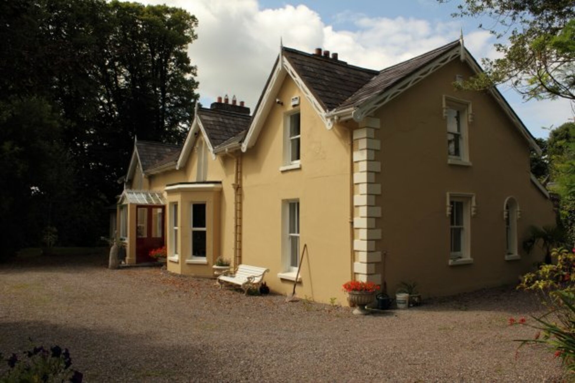 Man-made underground passage in KillumneyMan-made underground passage · 747 yd
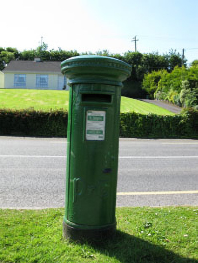 post boxpost box · 863 yd
 Slab-lined burial in Grange (east Muskerry By.)Slab-lined burial · 1475 yd
 Grange HillMountain / peak · 1.3 mi
 Graveyard in Carrigane (muskerry East By.)Graveyard · 1.3 mi
 Kilcrea Castle (in Ruins)Castle, tower house · 2.1 mi
 Kilcrea CastleWood · 2.1 mi
 Iniscarra Dam ViewViewpoint · 2.1 mi
 Charlie Hurley MemorialMemorial · 2.4 mi
 Castle Inch (in Ruins)Castle, tower house · 2.5 mi
 Cave in Ballincollig (muskerry East By., Carrigrohane Par.)Cave · 3.2 mi