What is recorded here
Fairy fort / earthen ringfort in Ballygarrane (Tubbrid parish) is a fairy fort or earthen ringfort in Ballygarrane (Tubbrid parish), County Tipperary, Ireland. The earthwork sits on a steep north-west-facing slope in hilly pastureland and is bisected by a field boundary running north-east to south-west. The north-west half appears levelled, while the south-east bank remains partially visible and disturbed. A man-made underground passage lies partially exposed in the north quadrant, nine metres from the bank.
On a steep NW-facing slope in hilly pastureland, just off the crest of a hill. The ringfort is very disturbed. It is bisected NE-SW by a field boundary. The NW half of the ringfort appears to have been levelled between the 1st ed. OS 6-inch map in 1840 and the 2nd ed. (1906) (diam. c. 21m N-S; c. 23m E-W). The bank in the SE half is partially levelled and partially disturbed by quarrying. The bank (Wth 1.4m crest, 3.3m base; int. H 1.3m; ext. H 0.6m) survives best in the SW quadrant, it is partially built on outcrop and there is a lot of stone in the bank composition. A field bank runs close to and parallel with the SW bank. There is a Man-made underground passage (TS081-038002-) in the interior, partially exposed, in the N quadrant, 9m from the bank. A shallow trench (Wth c.1.8m; 0.15m D) has been cut along the internal base of the bank in the SE quadrant.
Compiled by: Jean Farrelly
Date of upload: 08 January 2014
The monument record does not grant public access. Check the route and ask the landowner before entering private land.
- What survives
- Recorded monument
Places near here
 Enclosure in ScartanaEnclosure · 881 yd
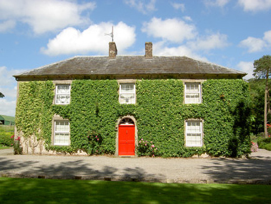 Farmly Househouse · 1109 yd
 Enclosure in KillinureEnclosure · 1142 yd
 CastleCastle, motte · 1634 yd
 Water millWater mill, unclassified · 1.0 mi
 Roosca CastleCastle · 1.3 mi
 Garrycloher WoodForest · 1.8 mi
 Pedunculate OakPedunculate Oak · 2.1 mi
 Woodcock HillMountain / peak · 2.7 mi
 Cahir CastleHeritage attraction · 3.3 miSiege of Cahir Castlesiege · 3.4 mi
 Caher AbbeyHeritage attraction · 3.7 mi